Pala da Tgiern
| Pala da Tgiern | |
|---|---|
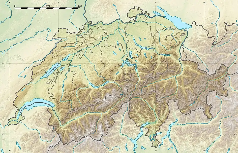 Pala da Tgiern Location in Switzerland | |
| Highest point | |
| Elevation | 2,279 m (7,477 ft) |
| Prominence | 74 m (243 ft)[1] |
| Parent peak | Rheinwaldhorn |
| Coordinates | 46°41′18.3″N 9°13′09.4″E / 46.688417°N 9.219278°E |
| Geography | |
| Location | Graubünden, Switzerland |
| Parent range | Lepontine Alps |
The Pala da Tgiern is a mountain of the Swiss Lepontine Alps, overlooking Suraua in the canton of Graubünden. It lies north of the Crap Grisch, in the Val Lumnezia.
References
External links