Palo Pinto Creek Reservoir
| Palo Pinto Creek Reservoir | |
|---|---|
| Lake Palo Pinto | |
 Palo Pinto Creek Reservoir | |
| Location | Palo Pinto, Texas |
| Coordinates | 32°39′08.05″N 98°18′24.3″W / 32.6522361°N 98.306750°W |
| Type | Reservoir |
| Basin countries | United States |
| Managing agency | Palo Pinto Co Municipal |
| First flooded | 1964 |
| Surface area | 2,399 acres (971 ha) |
| Max. depth | 47 ft (14 m) |
| Surface elevation | 866–896 ft (264–273 m) |
| References | GNIS[1] |
| Location | |
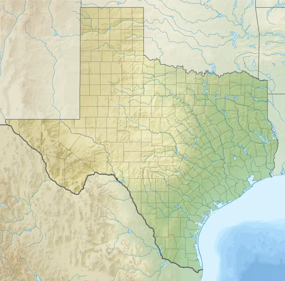
Palo Pinto Creek Reservoir is a lake located south of Palo Pinto, and north-east of Gordon in Palo Pinto County, Texas.[2] The eastern branch of the reservoir is known as Lake Palo Pinto.[3][4]
References
- ^ U.S. Geological Survey Geographic Names Information System: Palo Pinto Creek Reservoir
- ^ "Fishing Palo Pinto Reservoir". tpwd.texas.gov. Retrieved 2024-05-27.
- ^ U.S. Geological Survey Geographic Names Information System: Lake Palo Pinto
- ^ Plummer, Frederick Byron; Hornberger (Jr.), Joseph (1912). Geology of Palo Pinto County, Texas. The University.