Panemangalore, Karnataka
Panemangalore
Paner Panemanglur | |
|---|---|
Suburb | |
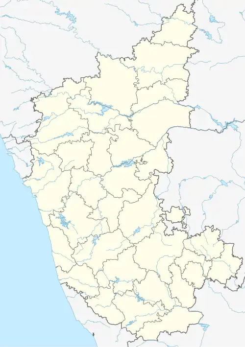 Panemangalore Location in Karnataka, India 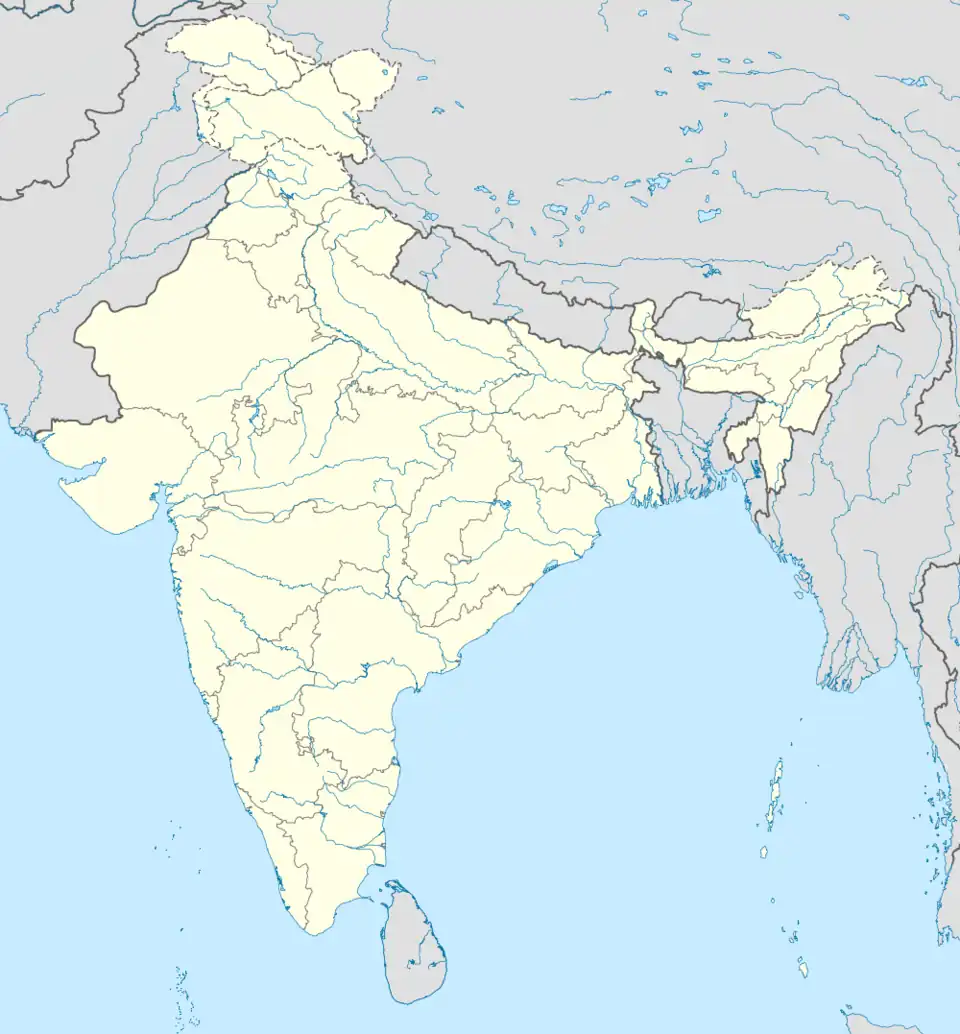 Panemangalore Panemangalore (India) | |
| Coordinates: 12°52′23″N 75°02′46″E / 12.873°N 75.046°E | |
| Country | |
| State | Karnataka |
| District | Dakshina Kannada |
| Nearest city | Mangalore |
| Government | |
| • Body | Municipality |
| Languages | |
| • Official | Kannada |
| • Regional | Tulu Konkani Beary |
| Time zone | UTC+5:30 (IST) |
| PIN | 574 231 |
| Telephone code | 08255 |
| ISO 3166 code | IN-KA |
| Vehicle registration | KA-19, KA-70 |
| Website | karnataka |
Panemangalore is a locality on the banks of the Netravati River near BC Road. It lies in Bantwal taluk of Dakshina Kannada district.[1] The National Highway 75 passes through this region. It is located 27 km east of Mangalore city. It lies in between BC Road and Melkar and forms a continuous urban area with them. They are also developing as the eastern suburbs of Mangalore.
References
- ^ "Basic Population Figures of India, States, Districts, Sub-District and Village, 2011". censusindia.gov.in. Ministry of Home Affairs. 2011. Archived from the original on 11 July 2022. Retrieved 17 May 2025.