Parham, Mississippi
Parham, Mississippi | |
|---|---|
 Parham  Parham | |
| Coordinates: 34°00′35″N 88°20′26″W / 34.00972°N 88.34056°W | |
| Country | United States |
| State | Mississippi |
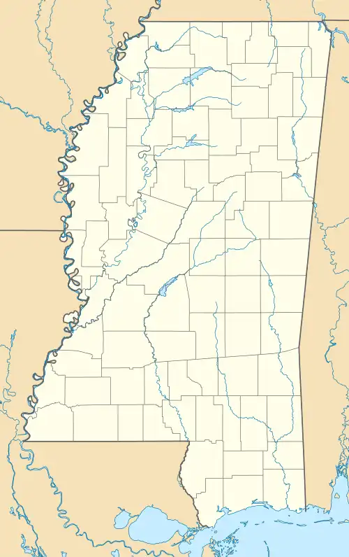
| County | Monroe |
| Elevation | 492 ft (150 m) |
| Time zone | UTC-6 (Central (CST)) |
| • Summer (DST) | UTC-5 (CDT) |
| Area code | 662 |
| GNIS feature ID | 675443[1] |
Parham is an unincorporated community in Monroe County, Mississippi. Parham is located northeast of Hatley and southeast of Smithville.[1]
The Parham Field is a natural gas field located in Parham.[2]
References
- ^ a b "Parham". Geographic Names Information System. United States Geological Survey, United States Department of the Interior.
- ^ "MONROE COUNTY MISSISSIPPI OIL & GAS PRODUCTION INDEX MAP" (PDF). geology.deq.ms.gov. Retrieved September 9, 2023.
Municipalities and communities of Monroe County, Mississippi, United States | ||
|---|---|---|
| Cities |  | |
| Towns | ||
| Village | ||
| CDPs | ||
| Other communities | ||
| Ghost towns | ||
| Footnotes | ‡This town also has portions in adjacent county or counties | |