Parkend, Lewis
Parkend
| |
|---|---|
.jpg) A view across a field to the Parkend Industrial Estate | |
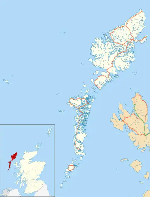 Parkend Location within the Outer Hebrides | |
| Language | Scottish Gaelic English |
| OS grid reference | NB449318 |
| Civil parish | |
| Council area | |
| Lieutenancy area | |
| Country | Scotland |
| Sovereign state | United Kingdom |
| Post town | STORNOWAY |
| Postcode district | HS2 |
| Dialling code | 01851 |
| Police | Scotland |
| Fire | Scottish |
| Ambulance | Scottish |
| UK Parliament | |
| Scottish Parliament | |
Parkend (Scottish Gaelic: Ceann nam Buailtean) is a hamlet in the Sandwick region of the Isle of Lewis, although like Melbost, it is not a part of the Eye Peninsula. Many people erroneously believe it to be a suburb of Stornoway, on the island of Lewis and Harris in the Outer Hebrides of Scotland.[1] Parkend is within the parish of Stornoway.[2] Parkend is situated on the A866,[3] and the adjoining Holm Road allows access to the nearby Holm Village. The Parkend Industrial Estate[4] is adjacent to the small housing estate.[2][5]
See also
References
- ^ "Overview of Parkend". Scottish Places. Retrieved 20 December 2014.
- ^ a b Historic Environment Scotland. "Lewis, RAF Stornoway Airfield, Domestic Site (Site no. NB43SE 10.7)". Retrieved 30 June 2025.
- ^ "THE EDINBURGH GAZETTE 20 MARCH 1992" (PDF). The Gazette. Retrieved 20 December 2014.
- ^ "Area Information for Parkend Industrial Estate, Sandwick, Isle Of Lewis, Scotland, HS2 0AN". Streetcheck. Retrieved 20 December 2014.
- ^ "Parkend - near Stornoway". Flickr. 24 August 2009. Retrieved 20 December 2014.
External links
Wikimedia Commons has media related to Parkend, Isle of Lewis.
- Visitor's guide for the Island of Lewis
- Website of the Western Isles Council with links to other resources
- Disabled access to Lewis for residents and visitors
- . Encyclopædia Britannica. Vol. 16 (11th ed.). 1911. pp. 525–526.
- A Guide to living in the Outer Hebrides, with most information pertaining to Lewis
| Inhabited islands | ||
|---|---|---|
| Other islands | ||
| Settlements |
| |
| Districts | ||
| Geographical features | ||
| Historical sites | ||