Pato Branco Airport
Prof. Juvenal Loureiro Cardoso Airport Aeroporto Prof. Juvenal Loureiro Cardoso | |||||||||||
|---|---|---|---|---|---|---|---|---|---|---|---|
| Summary | |||||||||||
| Airport type | Public | ||||||||||
| Operator | Pato Branco SEIL | ||||||||||
| Serves | Pato Branco | ||||||||||
| Time zone | BRT (UTC−03:00) | ||||||||||
| Elevation AMSL | 823 m / 2,700 ft | ||||||||||
| Coordinates | 26°13′02″S 052°41′40″W / 26.21722°S 52.69444°W | ||||||||||
| Map | |||||||||||
 PTO Location in Brazil 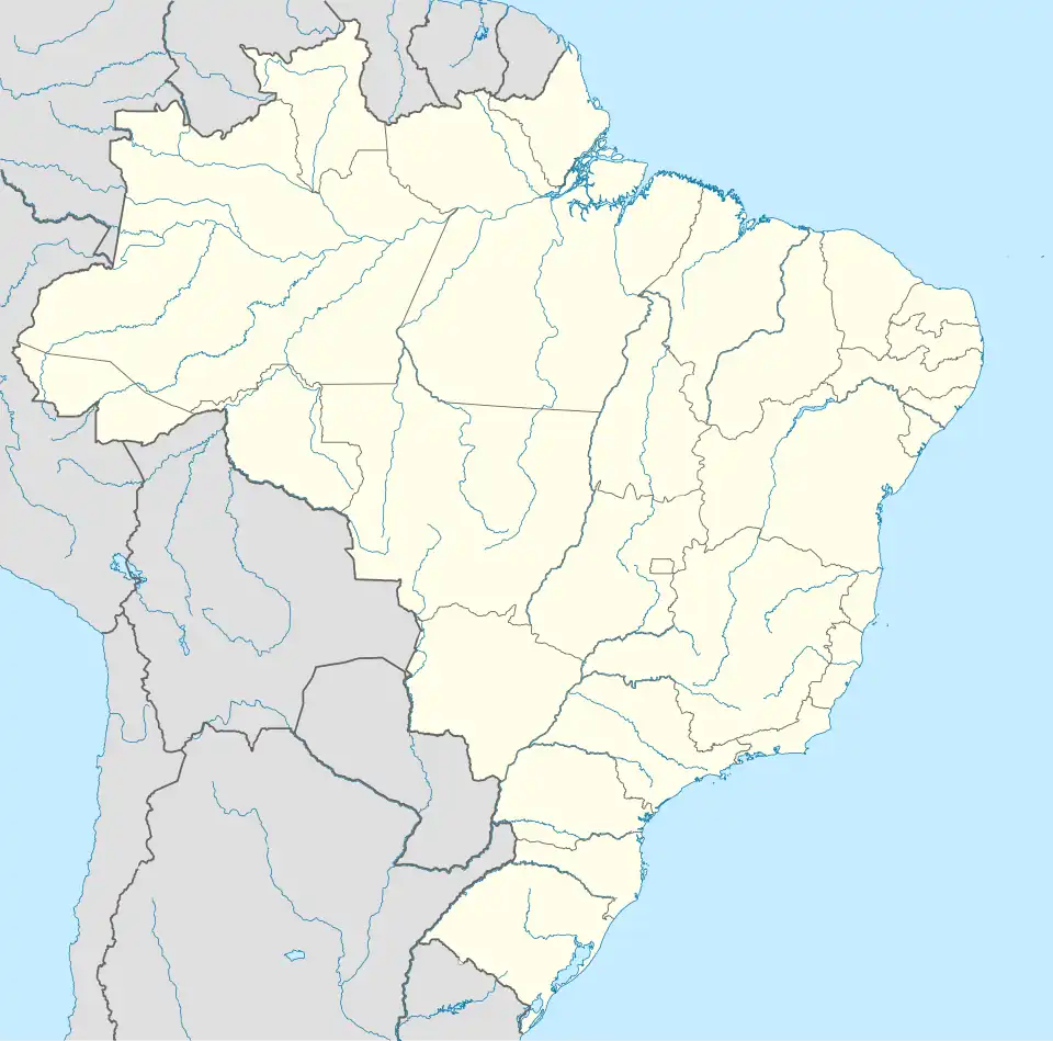 PTO PTO (Brazil) | |||||||||||
| Runways | |||||||||||
| |||||||||||
| Statistics (2011) | |||||||||||
| |||||||||||
Prof. Juvenal Loureiro Cardoso Regional Airport (IATA: PTO, ICAO: SBPO) formerly SSPB, is the airport serving Pato Branco, Brazil.
It is operated by the Municipality of Pato Branco under the supervision of Aeroportos do Paraná (SEIL).
Airlines and destinations
| Airlines | Destinations |
|---|---|
| Azul Brazilian Airlines | Campinas, Curitiba |
Access
The airport is located 4 km (2 mi) from downtown Pato Branco.
See also
References
- ^ "Estatística de passageiros" (PDF) (in Portuguese). SEIL. March 2012. Archived from the original (PDF) on 5 October 2013. Retrieved 18 July 2020.
- ^ "Movimentação de aeronaves" (PDF). SEIL (in Portuguese). March 2012. Archived from the original (PDF) on 4 March 2016. Retrieved 18 July 2020.
- ^ "Aeródromos". ANAC (in Portuguese). 26 June 2020. Retrieved 28 April 2021.
- ^ "Regional de Pato Branco - Professor Juvenal Loureiro Cardoso (SBPO)". DECEA (in Portuguese). Retrieved 31 March 2024.
External links
- Airport information for SSPB at Great Circle Mapper. Source: DAFIF (effective October 2006).
- Current weather for SSPB at NOAA/NWS
- Accident history for PTO at Aviation Safety Network