Pattapur
Pattapur | |
|---|---|
Village | |
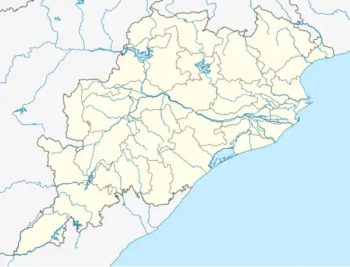 Pattapur Location in Ganjam, Odisha, India  Pattapur Pattapur (India) | |
| Coordinates: 19°26′51″N 84°35′32″E / 19.4474242°N 84.5923005°E | |
| Country | |
| State | Odisha |
| District | Ganjam |
| Languages | |
| • Official | Odia |
| Time zone | UTC+5:30 (IST) |
| PIN | 761013 |
| Telephone code | 06814 |
| Vehicle registration |
|
Pattapur is a village in the Ganjam district of Odisha state, India.[1] Belongs Sanakhemundi Block.
Bhubaneswar, the state capital, is located around 190 km from Pattapur. The nearest railway station, Brahmapur, is around 32 km away.
Pattapur's nearest town/city/important place is Digapahandi located at the distance of 9.3 km. Surrounding town/city/TP/CT from Pattapur are as follows.
| Digapahandi | 9.3 km |
| Hinjilicut | 23 km |
| Asika | 27 km |
| Brahmapur | 32 km |
| Chikiti | 34 km |
Pattapur has a Govt. Hospital, Block, Govt. High School, Govt. College.
References
- ^ "Primary Census Abstract Data Tables – India: Final Population Totals". Office of the Registrar General & Census Commissioner, India. Ministry of Home Affairs, Government of India. 2011. Archived from the original on 11 July 2022. Retrieved 27 April 2025.