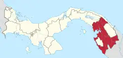
Paya, Darién
Paya | |
|---|---|
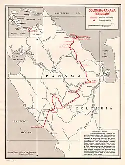 1960 US map of Colombia-Panama boundary shows the location of the village of Paya | |
| Country | |
| Province | Darién |
| District | Pinogana |
| Area | |
| • Land | 1,111.1 km2 (429.0 sq mi) |
| Population (2010)[1] | |
• Total | 639 |
| • Density | 0.6/km2 (2/sq mi) |
| Population density calculated based on land area. | |
| Time zone | UTC−5 (EST) |
| Climate | Am |
Paya is a corregimiento in Pinogana District, Darién Province, Panama with a population of 639 as of 2010.[1] Its population as of 1990 was 336; its population as of 2000 was 565.[1] It lies on the Paya River, a tributary of the Tuira River, and close to the Colombia–Panama border.[2]
References
- ^ a b c d "Cuadro 11 (Superficie, población y densidad de población en la República...)" [Table 11 (Area, population, and population density in the Republic...)] (.xls). In "Resultados Finales Básicos" [Basic Final Results] (in Spanish). National Institute of Statistics and Census of Panama. Retrieved May 26, 2015.
- ^ Yeadon, David (16 August 1992). Panama GAp: Into the Heart of the Darien, By Boat and On Foot, The Washington Post
7°58′00″N 77°24′00″W / 7.9667°N 77.4000°W