Peleș (river)
| Peleș | |
|---|---|
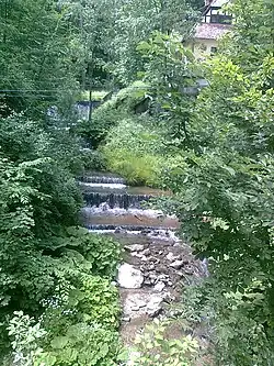 The Peleș near Peleș Castle | |
 | |
| Location | |
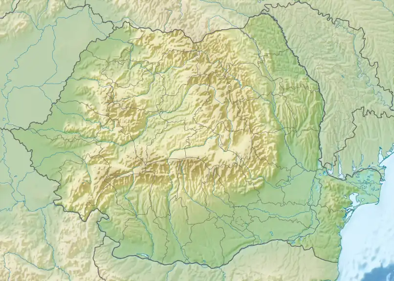
| Country | Romania |
| Counties | Prahova County |
| Towns | Sinaia |
| Physical characteristics | |
| Source | Mount Piatra Arsă |
| • location | Bucegi Mountains |
| • coordinates | 45°22′25″N 25°29′40″E / 45.37361°N 25.49444°E |
| Mouth | Prahova |
• location | Sinaia |
• coordinates | 45°21′21″N 25°33′22″E / 45.35583°N 25.55611°E |
• elevation | 810 m (2,660 ft) |
| Length | 6 km (3.7 mi) |
| Basin size | 6 km2 (2.3 sq mi) |
| Basin features | |
| Progression | Prahova→ Ialomița→ Danube→ Black Sea |
| Tributaries | |
| • right | Valea cu Genune, Valea Zadelor, Peleșel, Sfânta Ana |
| River code | XI.1.20.5 |
The Peleș is a small right tributary of the river Prahova in Romania.[1] It flows into the Prahova in Sinaia.[2] Its length is 6 km (3.7 mi) and its basin size is 6 km2 (2.3 sq mi).[1]
References
- ^ a b Atlasul cadastrului apelor din România. Partea 1 (in Romanian). Bucharest: Ministerul Mediului. 1992. p. 350. OCLC 895459847. River code: XI.1.20.5
- ^ Peles (jud. Prahova), e-calauza.ro