Penta, Chhattisgarh
Penta, Chhattisgarh | |
|---|---|
town | |
 Penta, Chhattisgarh  Penta, Chhattisgarh | |
| Coordinates: 18°7′0″N 81°29′0″E / 18.11667°N 81.48333°E | |
| Country | India |
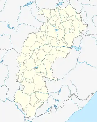
| State | Chhattisgarh |
| District | Dantewada |
| Elevation | 121 m (397 ft) |
| Languages | |
| • Official | Hindi, Chhattisgarhi |
| Time zone | UTC+5:30 (IST) |
| Vehicle registration | CG |
| Coastline | 0 kilometres (0 mi) |
Penta is a town in Dantewada district, Chhattisgarh, India.
Geography
It is located at 18°7′0″N 81°29′0″E / 18.11667°N 81.48333°E at an elevation of 121 m above MSL.[1]
Location
Penta is connected to Jagdalpur by National Highway 221.
References
- ^ http://www.fallingrain.com/world/IN/37/Penta.html Map and weather of Penta
Nearest Airport is Hyderabad and nearest railway station head is dantewada.
External links