Pentoga, Michigan
Pentoga, Michigan | |
|---|---|
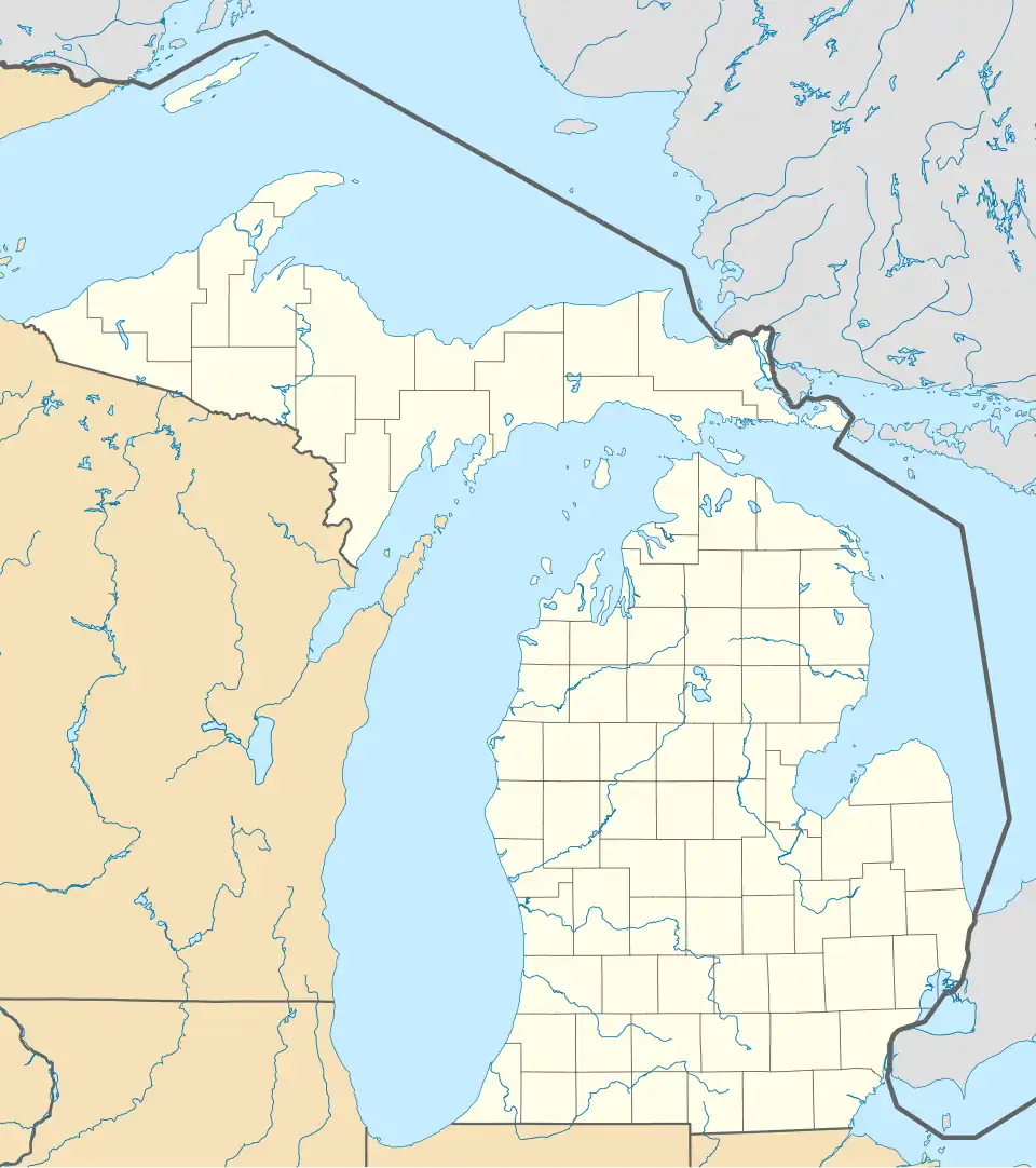 Pentoga Location within the state of Michigan | |
| Coordinates: 46°00′11″N 88°29′40″W / 46.00306°N 88.49444°W | |
| Country | United States |
| State | Michigan |
| County | Iron |
| Township | Stambaugh Township |
| Elevation | 1,411 ft (430 m) |
| Time zone | UTC-6 (Central (CST)) |
| • Summer (DST) | UTC-5 (CDT) |
| ZIP code | 49920 |
| Area code | 906 |
| GNIS feature ID | 2129433[1] |
Pentoga is an unincorporated community in Iron County, in the U.S. state of Michigan.[2]
History
A post office was established at Pentoga in 1900, and remained in operation until it was discontinued in 1937.[3][4] The community was given its name by the owners of a local mill.[5] It stemmed from the name of a Native American chief's wife;[6] her tribe had made their home along the shore of Chicagon Lake before selling it and moving to the Lac Vieux Desert Indian Reservation.[7]
References
- ^ U.S. Geological Survey Geographic Names Information System: Pentoga, Michigan
- ^ U.S. Geological Survey Geographic Names Information System: Pentoga, Michigan
- ^ "Iron County". Jim Forte Postal History. Retrieved March 24, 2015.
- ^ U.S. Geological Survey Geographic Names Information System: Pentoga Post Office (historical)
- ^ Chicago and North Western Railway Company (1908). A History of the Origin of the Place Names Connected with the Chicago & North Western and Chicago, St. Paul, Minneapolis & Omaha Railways. p. 112.
- ^ Upper Peninsula Development Bureau (n.d.). The Green Book Guide to the Land of Hiawatha. Marquette, MI, USA: Stenglein Printing Co. p. 92.
{{cite book}}: CS1 maint: year (link) - ^ Classen, Mikel B. (2019). Points North: Discover Hidden Campgrounds, Natural Wonders, and Waterways of the Upper Peninsula (1st ed.). Ann Arbor, MI, USA: Loving Healing Press, Incorporated. p. 80. ISBN 978-1-61599-490-8.
Municipalities and communities of Iron County, Michigan, United States | ||
|---|---|---|
| Cities |  | |
| Villages | ||
| Townships | ||
| CDP | ||
| Other communities | ||
| Defunct | ||