Perivoli, Corfu
Perivoli
Περιβόλι | |
|---|---|
 Perivoli | |
 Perivoli | |
| Coordinates: 39°25′N 20°01′E / 39.417°N 20.017°E | |
| Country | Greece |
| Administrative region | Ionian Islands |
| Regional unit | Corfu |
| Municipality | South Corfu |
| Municipal unit | Korissia |
| Population (2021)[1] | |
• Community | 1,297 |
| Time zone | UTC+2 (EET) |
| • Summer (DST) | UTC+3 (EEST) |
| Vehicle registration | ΚΥ |
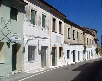
Perivoli (Greek: Περιβόλι) is a village and a community in the southern part of the island of Corfu, Greece. It is part of the municipal unit of Korissia. The community includes the village Potamia. Perivoli is 1 km northwest of Vitalades, 4 km west of Lefkimmi, 4 km southeast of Argyrades and 24 km south of the city of Corfu. The Greek National Road 25 (Corfu - Argyrades - Lefkimmi) passes through the village. The small fishing port Kalyviotis is to the north, and the Agia Varvara beach is to the southwest.
Population
| Year | Town population | Community population |
|---|---|---|
| 1981 | - | 1,334 |
| 1991 | 1,382 | - |
| 2001 | 1,420 | 1,441 |
| 2011 | 1,378 | 1,427 |
| 2021 | 1,283 | 1,297 |
See also
References
- ^ "Αποτελέσματα Απογραφής Πληθυσμού - Κατοικιών 2021, Μόνιμος Πληθυσμός κατά οικισμό" [Results of the 2021 Population - Housing Census, Permanent population by settlement] (in Greek). Hellenic Statistical Authority. 29 March 2024.