Petacas
| Petacas | |
|---|---|
| Cerro de las Petacas | |
 | |
| Highest point | |
| Elevation | 4,018 m (13,182 ft) |
| Prominence | 478 m (1,568 ft) |
| Listing | Volcanoes of Colombia |
| Coordinates | 1°37′16″N 76°50′33″W / 1.6211°N 76.8425°W |
| Geography | |
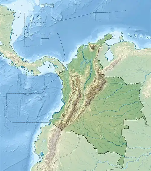 Petacas Location of Petacas in Colombia | |
| Location | Cauca & Nariño |
| Parent range | Central Ranges, Andes |
| Geology | |
| Mountain type | Lava dome |
| Volcanic belt | North Volcanic Zone Andean Volcanic Belt |
| Last eruption | unknown |
Petacas is a lava dome in the departments of Cauca and Nariño, Colombia.[1]
Doña Juana and Las Animas volcanoes lie nearby.[1] These volcanoes are all located between the El Tablón Fault to the west and the San Jerónimo Fault to the east.[2]
See also
References
- ^ a b "Petacas". Global Volcanism Program. Smithsonian Institution.
- ^ Plancha 411, 2002
Bibliography
- Núñez, Alberto; Gómez, Jorge (2002), Plancha 411 - La Cruz - 1:100,000, INGEOMINAS, p. 1, retrieved 2017-06-06
| Western Ranges | | |
|---|---|---|
| Central Ranges |
| |
| Eastern Ranges | ||
| Other | ||
| Source | ||