Pigüé Airport
Pigüé Airport Aeródromo Pigüé | |||||||||||||||
|---|---|---|---|---|---|---|---|---|---|---|---|---|---|---|---|
| Summary | |||||||||||||||
| Airport type | Public | ||||||||||||||
| Serves | Pigüé, Argentina | ||||||||||||||
| Elevation AMSL | 997 ft / 304 m | ||||||||||||||
| Coordinates | 37°36′02″S 62°22′40″W / 37.60056°S 62.37778°W | ||||||||||||||
| Map | |||||||||||||||
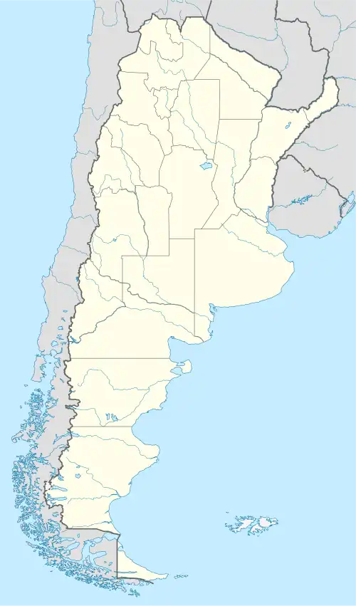 SAZE Location of airport in Argentina | |||||||||||||||
| Runways | |||||||||||||||
| |||||||||||||||
Pigüé Airport (Spanish: Aeródromo Pigüé, ICAO: SAZE) is a public use airport serving Pigüé, a town in the Buenos Aires Province of Argentina. The airport is on the east edge of the town.
See also
References
- ^ Airport record for Pigüé Airport at Landings.com. Retrieved 2 September 2013
- ^ "Aeródomo Pigüé". Google Maps. Retrieved 8 May 2019.
- ^ Airport information for Pigüé Airport at Great Circle Mapper.
External links
- FallingRain - Pigüé Airport
- OurAirports - Pigüé Airport
- Accident history for SAZE at Aviation Safety Network