Pignon Airport
Pignon Airport Ayewopò Piyon Aéroport de Pignon | |||||||||||
|---|---|---|---|---|---|---|---|---|---|---|---|
| Summary | |||||||||||
| Airport type | Public | ||||||||||
| Operator | Autorité Aéroportuaire Nationale | ||||||||||
| Serves | Pignon, Haiti | ||||||||||
| Elevation AMSL | 1,148 ft / 350 m | ||||||||||
| Coordinates | 19°19′25″N 72°07′00″W / 19.32361°N 72.11667°W | ||||||||||
| Website | http://www.aan.gouv.ht/ | ||||||||||
| Map | |||||||||||
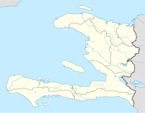 Pignon Location in Haiti | |||||||||||
| Runways | |||||||||||
| |||||||||||
Sources: Google Maps[1] | |||||||||||
Pignon Airport is an airport serving Pignon, a city in the Nord Department of Haiti. The airport has scheduled and charter airline service from Port-au-Prince.
The runway has an additional 200 metres (660 ft) grass overrun on the southwest end. It is 1 kilometre (0.6 mi) south of the city. There is a large hill just to the north of the Pignon.
History
It was financed and built by Dr Guy Theodore.[2][3]
Airlines and destinations
As of January 2021, there are no scheduled services at the airport.
See also
References
- ^ Google Maps - Pignon
- ^ Landing at Pignon Airport (French language)
- ^ Dr Theodore interview (French language)
External links
| International | |
|---|---|
| Domestic | |
| Unscheduled | |