Pikveld
Pikveld | |
|---|---|
Hamlet and neighbourhood | |
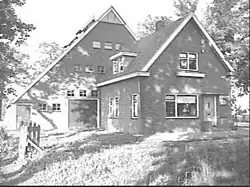 Farm in Pikveld | |
 Pikveld  Pikveld | |
| Coordinates: 52°39′25″N 6°46′11″E / 52.65694°N 6.76972°E | |
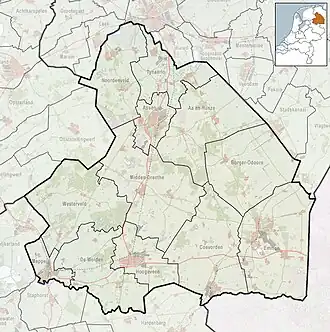
| Country | Netherlands |
| Province | Drenthe |
| Municipality | Coevorden |
| Area | |
• Total | 1.02 km2 (0.39 sq mi) |
| Elevation | 10 m (30 ft) |
| Population (2021)[1] | |
• Total | 3,060 |
| • Density | 3,000/km2 (7,800/sq mi) |
| Time zone | UTC+1 (CET) |
| • Summer (DST) | UTC+2 (CEST) |
| Postal code | 7742[1] |
| Dialing code | 0524 |
Pikveld is a neighbourhood of Coevorden and a hamlet in the province of Drenthe in the Netherlands.
Pikveld was first mentioned in 1600 as Leenert ten Pickvelt, and means "pitch field".[3] In 1840, it was home to 18 people. Nowadays there are about 20 houses in the hamlet.[4] It is also the name of the nearby neighbourhood of Coevorden which is significantly larger.[1]
References
- ^ a b c d "Kerncijfers wijken en buurten 2021". Central Bureau of Statistics. Retrieved 13 March 2022.
- ^ "Postcodetool for 7742AB". Actueel Hoogtebestand Nederland (in Dutch). Het Waterschapshuis. Retrieved 12 March 2022.
- ^ "Pikveld". Etymologiebank (in Dutch). Retrieved 13 March 2022.
- ^ "Pikveld". Plaatsengids (in Dutch). Retrieved 13 March 2022.
Wikimedia Commons has media related to Pikveld.