Pintwater Range
| Pintwater Range | |
|---|---|
| Highest point | |
| Peak | Quartz Peak (Nevada), Pintwater Range (center-north) |
| Elevation | 6,395 ft (1,949 m) |
| Geography | |
| Country | United States |
| State | Nevada |
| Counties | |
| Settlement | Indian Springs, NV |
| Range coordinates | 36°56′25.855″N 115°33′44.079″W / 36.94051528°N 115.56224417°W |
| Borders on | Indian Springs Valley-W Three Lakes Valley-E East Desert Range-NE Desert Range-SE Spring Mountains-SSE |
| Topo map | USGS Quartz Peak |
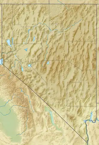
The Pintwater Range is a mountain range in Churchill and Lincoln counties, in the U.S. state of Nevada.[1]
Pintwater Range was figuratively named due to a lack of water.[2]
References
- ^ a b "Pintwater Range". Geographic Names Information System. United States Geological Survey, United States Department of the Interior. Retrieved 2009-05-04.
- ^ Federal Writers' Project (1941). Origin of Place Names: Nevada (PDF). W.P.A. p. 17.