Pipalia Chhaparband
Pipalia Chhaparband | |
|---|---|
village | |
 Pipalia Chhaparband  Pipalia Chhaparband | |
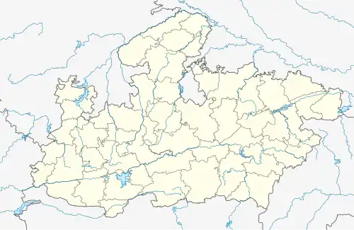
| Coordinates: 23°21′31″N 77°19′10″E / 23.3584801°N 77.3195196°E | |
| Country | India |
| State | Madhya Pradesh |
| District | Bhopal |
| Tehsil | Huzur |
| Elevation | 501 m (1,644 ft) |
| Population (2011) | |
• Total | 284 |
| Time zone | UTC+5:30 (IST) |
| ISO 3166 code | MP-IN |
| 2011 census code | 482360 |
Pipalia Chhaparband is a village in the Bhopal district of Madhya Pradesh, India. It is located in the Huzur tehsil and the Phanda block.[1]
Demographics
According to the 2011 census of India, Pipalia Chhaparband has 64 households. The effective literacy rate (i.e. the literacy rate of population excluding children aged 6 and below) is 64.63%.[2]
| Total | Male | Female | |
|---|---|---|---|
| Population | 284 | 153 | 131 |
| Children aged below 6 years | 38 | 21 | 17 |
| Scheduled caste | 135 | 65 | 70 |
| Scheduled tribe | 0 | 0 | 0 |
| Literates | 159 | 104 | 55 |
| Workers (all) | 77 | 63 | 14 |
| Main workers (total) | 51 | 44 | 7 |
| Main workers: Cultivators | 16 | 13 | 3 |
| Main workers: Agricultural labourers | 30 | 28 | 2 |
| Main workers: Household industry workers | 0 | 0 | 0 |
| Main workers: Other | 5 | 3 | 2 |
| Marginal workers (total) | 26 | 19 | 7 |
| Marginal workers: Cultivators | 3 | 2 | 1 |
| Marginal workers: Agricultural labourers | 23 | 17 | 6 |
| Marginal workers: Household industry workers | 0 | 0 | 0 |
| Marginal workers: Others | 0 | 0 | 0 |
| Non-workers | 207 | 90 | 117 |
References
- ^ "RFP Document for Establishing Operating and Maintaining Lok Seva Kendra" (PDF). E-Governance Society Bhopal District. Archived from the original (PDF) on 4 March 2016. Retrieved 25 July 2015.
- ^ a b "District Census Handbook - Bhopal" (PDF). 2011 Census of India. Directorate of Census Operations, Madhya Pradesh. Retrieved 20 July 2015.