Pixley, Kansas
Pixley, Kansas | |
|---|---|
 KDOT map of Barber County (legend) | |
 Pixley  Pixley | |
| Coordinates: 37°15′07″N 98°30′49″W / 37.25194°N 98.51361°W[1] | |
| Country | |
| State | |
| County | Barber |
| Township | Medicine Lodge |
| Elevation | 1,513 ft (461 m) |
| Time zone | UTC-6 (CST) |
| • Summer (DST) | UTC-5 (CDT) |
| ZIP code | 67104 |
| Area code | 620 |
| FIPS code | 20-56075 [1] |
| GNIS ID | 484519 [1] |
Pixley is an unincorporated community in Medicine Lodge Township, Barber County, Kansas, United States.[1] It is 4 miles (6.4 km) southeast of Medicine Lodge.
History
Pixley had a post office from 1892 until 1897.[2]
See also
- Fictional Hooterville and Pixley
References
- ^ a b c d e "Pixley, Kansas", Geographic Names Information System, United States Geological Survey, United States Department of the Interior
- ^ "Kansas Post Offices, 1828-1961 (archived)". Kansas Historical Society. Archived from the original on October 9, 2013. Retrieved June 4, 2014.
Further reading
External links
Municipalities and communities of Barber County, Kansas, United States | ||
|---|---|---|
| Cities | 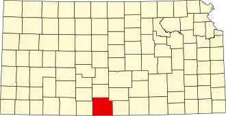 | |
| CDPs | ||
| Unincorporated communities | ||
| Townships | ||