Piz Bles
| Piz Bles | |
|---|---|
 Piz Bles seen from Cröt | |
| Highest point | |
| Elevation | 3,045 m (9,990 ft) |
| Prominence | 190 m (620 ft)[1] |
| Parent peak | Cima da Lägh |
| Coordinates | 46°23′54″N 9°28′01″E / 46.39833°N 9.46694°E |
| Geography | |
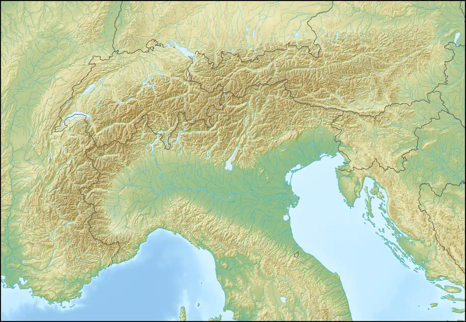 Piz Bles Location in the Alps | |
| Location | Lombardy, Italy Graubünden, Switzerland |
| Parent range | Oberhalbstein Alps |
Piz Bles is a mountain in the Oberhalbstein Alps, located on the border between Italy (Lombardy) and Switzerland (Graubünden). On its northwestern side lies the lake Lago di Lei.
References
- ^ Retrieved from the Swisstopo topographic maps and Google Earth. The key col is located south of Cima da la Sovräna at 2,855 metres.
External links