Piz di Pian
| Piz di Pian | |
|---|---|
_in_Valchiavenna%252C_Province_of_Sondrio%252C_Lombardy%252C_Italy_-_2017-10-15.jpg) | |
| Highest point | |
| Elevation | 3,158 m (10,361 ft) |
| Prominence | 237 m (778 ft)[1] |
| Parent peak | Pizzo Tambo |
| Coordinates | 46°27′18″N 9°16′20″E / 46.45500°N 9.27222°E |
| Geography | |
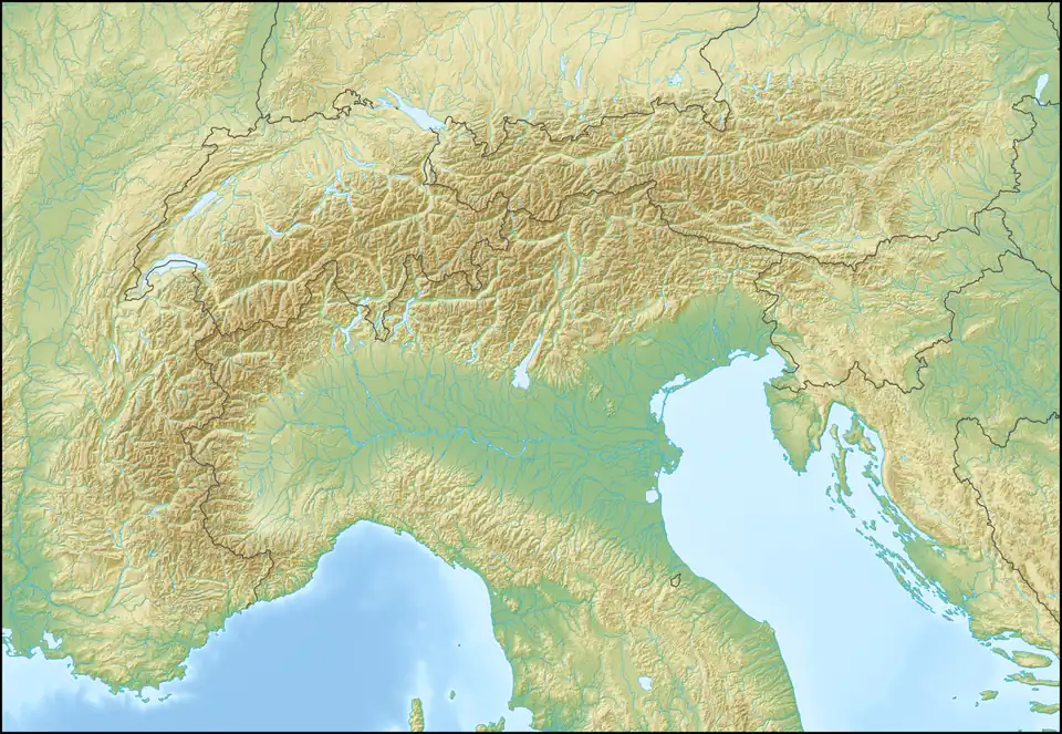 Piz di Pian Location in the Alps | |
| Location | Lombardy, Italy Graubünden, Switzerland |
| Parent range | Lepontine Alps |
Piz di Pian is a mountain of the Lepontine Alps on the Swiss-Italian border. With an elevation of 3,158 m (10,361 ft), it is the highest summit on the chain south of Pizzo Tambo.
References
External links