Pleiku-Bantour volcanic field
| Pleiku-Bantour volcanic field | |
|---|---|
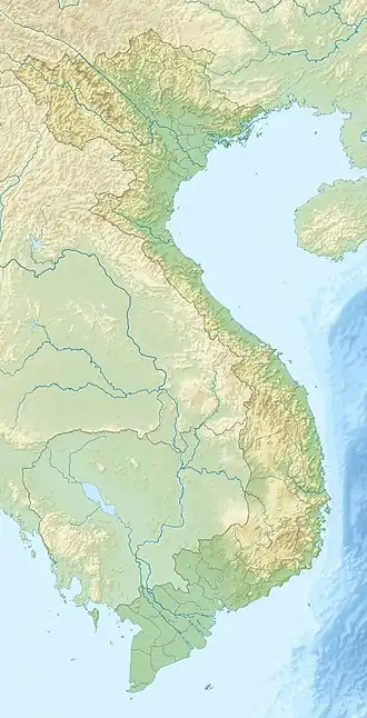 Pleiku-Bantour volcanic field Location in Vietnam | |
| Highest point | |
| Elevation | 1,028 m (3,373 ft) |
| Coordinates | 13°51′N 108°06′E / 13.85°N 108.1°E[1] |
The Pleiku-Bantour volcanic field is an extensive volcanic field in southern Vietnam. It contains several volcanic edifices, most of which are not well-presevered. In 1973, the International Association of Volcanology and Chemistry of the Earth's Interior listed this volcanic area as Pleistocene in age.[1] The southern extension of the Pleiku-Bantour volcanic field is the Darlac volcanic field which is also of Pleistocene age.[2]
Volcanoes
The Pleiku-Bantour volcanic field includes the following volcanoes:
| Name | Landform | Coordinates |
|---|---|---|
| Mount Chi-Hodron (Chi-Haedrong) | Crater | 13°54′N 108°0′E / 13.900°N 108.000°E |
| Mount Chi-Holam | Cone | 13°52′N 108°5′E / 13.867°N 108.083°E |
| Mount Chi-Ten | Crater | 13°57′N 108°5′E / 13.950°N 108.083°E |
| Mount La Bang | Crater | 13°54′N 108°2′E / 13.900°N 108.033°E |
| Mount Pleiku | Crater | 14°0′N 108°0′E / 14.000°N 108.000°E |
| Mount Pleitott | Cone | 13°46′N 108°2′E / 13.767°N 108.033°E |
| Plei-Monu | Crater | 14°0′N 108°2′E / 14.000°N 108.033°E |