Plumfield, Illinois
Plumfield, Illinois | |
|---|---|
 Plumfield, Illinois  Plumfield, Illinois | |
| Coordinates: 37°53′29″N 89°00′24″W / 37.89139°N 89.00667°W | |
| Country | United States |
| State | Illinois |
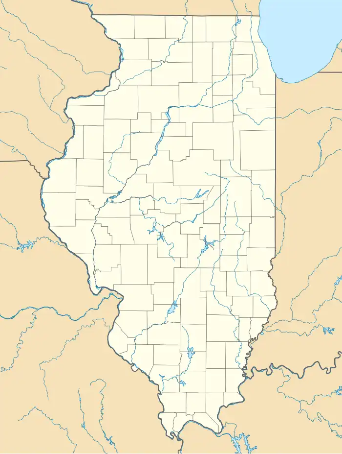
| County | Franklin |
| Elevation | 400 ft (100 m) |
| Time zone | UTC-6 (Central (CST)) |
| • Summer (DST) | UTC-5 (CDT) |
| Area code | 618 |
| GNIS feature ID | 423073[1] |
Plumfield is an unincorporated community in Denning Township, Franklin County, Illinois, United States. The community is located along Illinois Route 149 4.5 miles (7.2 km) west of West Frankfort.[2]
References
- ^ "Plumfield". Geographic Names Information System. United States Geological Survey, United States Department of the Interior.
- ^ Franklin County General Highway Map (PDF) (Map). Illinois Department of Transportation. May 29, 2015. Retrieved February 24, 2018.
Municipalities and communities of Franklin County, Illinois, United States | ||
|---|---|---|
| Cities |  | |
| Villages | ||
| Townships | ||
| CDP | ||
| Other unincorporated communities | ||
| Footnotes | ‡This populated place also has portions in an adjacent county or counties | |