Podkumok
| Podkumok | |
|---|---|
 The Podkumok near Georgiyevsk | |
 .jpg) | |
| Location | |
| Country | Russia |
| Physical characteristics | |
| Mouth | Kuma |
• coordinates | 44°11′43″N 43°29′29″E / 44.1954°N 43.4913°E |
| Length | 160 km (99 mi) |
| Basin size | 2,220 km2 (860 sq mi) |
| Basin features | |
| Progression | Kuma→ Caspian Sea |
| Tributaries | |
| • right | Etoka |
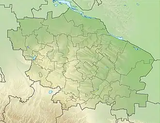
The Podkumok (Russian: Подкумок) is a river in Stavropol Krai, Russia, right tributary of the Kuma. The length of the river is 160 km (99 mi). The area of its basin is 2,220 km2 (857 mi2).[1]
Originating in the Greater Caucasus, the Podkumok is widely used for irrigation. The biggest hydroelectric dam in Imperial Russia Water-powers Белые угли, built in 1903, was located on the Podkumok near Yessentuki.
The towns of Kislovodsk, Yessentuki, Pyatigorsk, Georgiyevsk and urban-type settlements Goryachevodsky, Svobody are located on the Podkumok.
References
- ^ "Река Подкумок in the State Water Register of Russia". textual.ru (in Russian).