Pondera Colony, Montana
Pondera Colony, Montana | |
|---|---|
 Pondera Colony  Pondera Colony | |
| Coordinates: 48°14′24″N 112°25′05″W / 48.24000°N 112.41806°W | |
| Country | United States |
| State | Montana |
| County | Pondera |
| Area | |
• Total | 0.23 sq mi (0.61 km2) |
| • Land | 0.23 sq mi (0.61 km2) |
| • Water | 0.00 sq mi (0.00 km2) |
| Elevation | 3,990 ft (1,220 m) |
| Population (2020) | |
• Total | 113 |
| • Density | 482.91/sq mi (186.48/km2) |
| Time zone | UTC-7 (Mountain (MST)) |
| • Summer (DST) | UTC-6 (MDT) |
| ZIP Code | 59486 (Valier) |
| Area code | 406 |
| FIPS code | 30-58834 |
| GNIS feature ID | 2806660[2] |
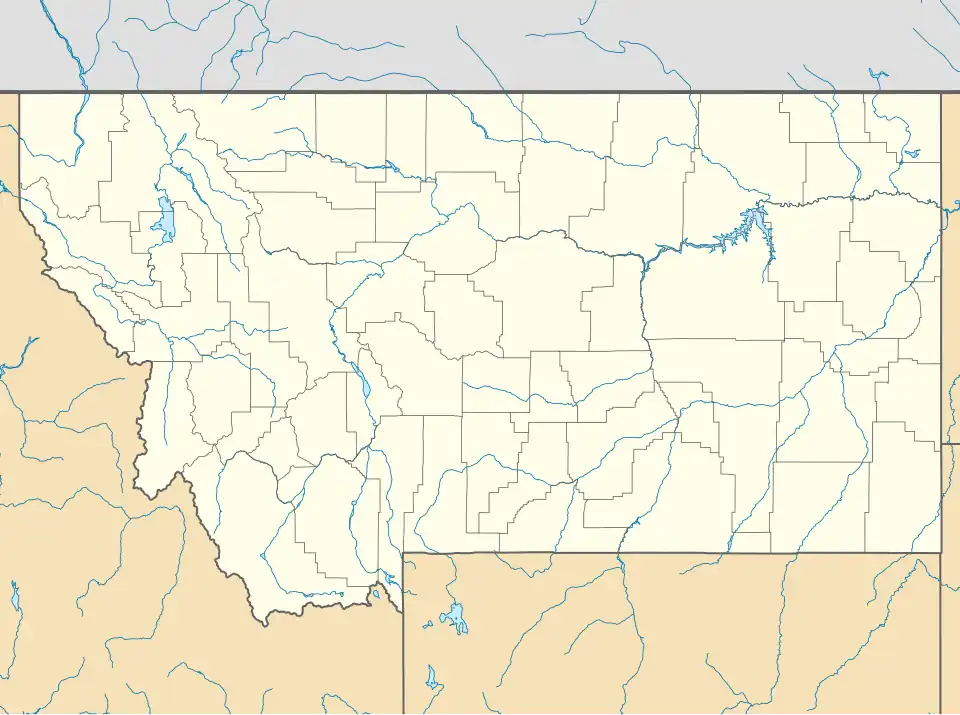
Pondera Colony is a Hutterite community[3] and census-designated place (CDP) in Pondera County, Montana, United States. It is in the west-central part of the county, 8 miles (13 km) northeast of Dupuyer and 9 miles (14 km) southwest of Valier.
Pondera Colony was first listed as a CDP prior to the 2020 census.[2]
Demographics
| Census | Pop. | Note | %± |
|---|---|---|---|
| 2020 | 113 | — | |
| U.S. Decennial Census[4] | |||
References
- ^ "ArcGIS REST Services Directory". United States Census Bureau. Retrieved September 5, 2022.
- ^ a b c U.S. Geological Survey Geographic Names Information System: Pondera Colony, Montana
- ^ Morton, Claudette, ed. (2010). Essential Understandings of Montana Hutterites: A Resource for Educators and Students (PDF). Montana Office of Public Instruction. p. 2. Retrieved June 14, 2021.
- ^ "Census of Population and Housing". Census.gov. Retrieved June 4, 2016.
Municipalities and communities of Pondera County, Montana, United States | ||
|---|---|---|
| City |  | |
| Town | ||
| CDPs | ||
| Other community | ||
| Indian reservation | ||
| Footnotes | ‡This populated place also has portions in an adjacent county or counties | |