Pontoon, Arkansas
Pontoon, Arkansas | |
|---|---|
 Pontoon, Arkansas  Pontoon, Arkansas | |
| Coordinates: 35°06′43″N 93°00′38″W / 35.11194°N 93.01056°W | |
| Country | United States |
| State | Arkansas |
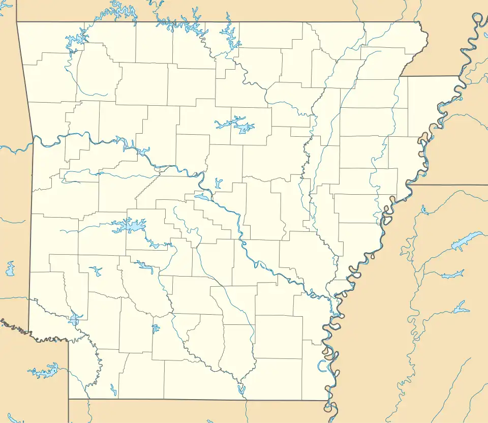
| County | Conway |
| Elevation | 322 ft (98 m) |
| Time zone | UTC-6 (Central (CST)) |
| • Summer (DST) | UTC-5 (CDT) |
| Area code | 479 |
| GNIS feature ID | 58437[1] |
Pontoon is an unincorporated community in Conway County, Arkansas, United States. Pontoon is located at the junction of Arkansas highways 154 and 247, 15.3 miles (24.6 km) west-southwest of Morrilton.[2]
References
- ^ a b "Pontoon". Geographic Names Information System. United States Geological Survey, United States Department of the Interior.
- ^ Conway County, Arkansas General Highway Map (PDF) (Map). Arkansas State Highway and Transportation Department. 2008. Archived from the original (PDF) on July 18, 2011. Retrieved December 5, 2011.
Municipalities and communities of Conway County, Arkansas, United States | ||
|---|---|---|
| Cities |  | |
| Town | ||
| CDPs | ||
| Other unincorporated communities | ||