Poopara
Poopara | |
|---|---|
village | |
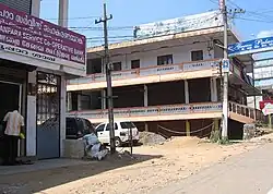 Poopara Junction | |
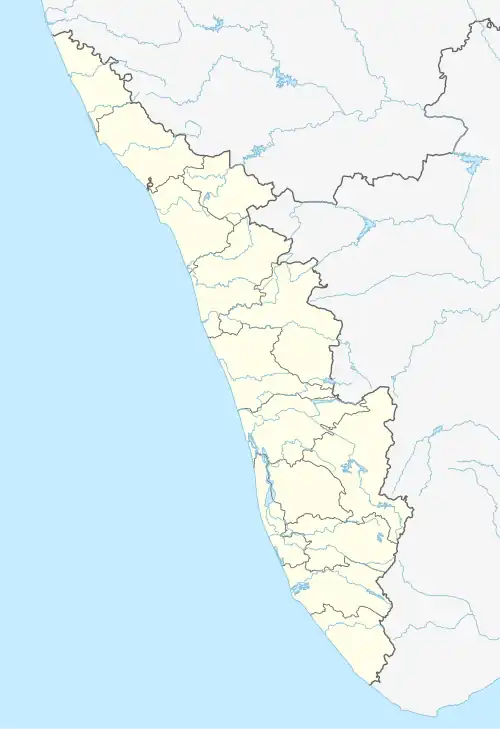 Poopara Location in Kerala, India  Poopara Poopara (India) | |
| Coordinates: 9°58′49″N 77°12′11″E / 9.9803°N 77.2031°E | |
| Country | |
| State | Kerala |
| District | Idukki district |
| Taluk | Udumbanchola |
| Government | |
| • Body | Santhanpara Grama Panchayat |
| Area | |
• Total | 41.05 km2 (15.85 sq mi) |
| Population (2011) | |
• Total | 8,231 |
| • Density | 200/km2 (520/sq mi) |
| Languages | |
| • Official | Malayalam, English |
| • Regional | Malayalam, Tamil[1] |
| Time zone | UTC+5:30 (IST) |
| PIN | 685613,685619 |
| Vehicle registration | KL-69 |
Poopara is a village in Idukki district in the Indian state of Kerala.[2] It is located in the cardamom-growing region of Kerala, and also houses a number of tea and coffee plantations. The place also intersects the Munnar - Kumily state highway (SH-19) and Kochi - Dhanushkodi national highway (NH-49). The Anayirankal reservoir is 4 km up the road from Poopara.
Demographics
As of 2011 Census, Poopara had a population of 8,231 with 4,137 males and 4,094 females. Poopara village has an area of 41.05 km2 (15.85 sq mi) with 2,267 families residing in it. In Poopara, 8.8% of the total population was under 6 years of age. Poopara had an average literacy of 77.9% higher than the national average of 74% and lower than state average of 94%.[3]
References
- ^ "Table C-16 Population by Mother Tongue: Kerala". www.censusindia.gov.in. Registrar General and Census Commissioner of India.
- ^ "Census of India : Villages with population 5000 & above". Registrar General & Census Commissioner, India. Archived from the original on 8 December 2008. Retrieved 10 December 2008.
- ^ Kerala, Directorate of Census Operations. District Census Handbook, Idukki (PDF). Thiruvananthapuram: Directorate of Census Operations, Kerala. p. 58,59. Retrieved 14 July 2020.