Poptún Airport
Poptún Airport | |||||||||||
|---|---|---|---|---|---|---|---|---|---|---|---|
| Summary | |||||||||||
| Airport type | Public | ||||||||||
| Serves | Poptún, Guatemala | ||||||||||
| Elevation AMSL | 1,693 ft / 516 m | ||||||||||
| Coordinates | 16°19′35″N 89°25′00″W / 16.32639°N 89.41667°W | ||||||||||
| Map | |||||||||||
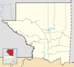 PON Location in Petén Department 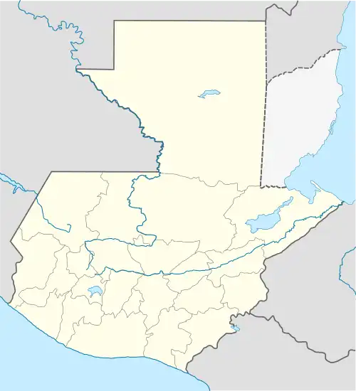 PON Location in Guatemala | |||||||||||
| Runways | |||||||||||
| |||||||||||
| Statistics (2022) | |||||||||||
| |||||||||||
Poptún Airport (IATA: PON, ICAO: MGPP) is an airport serving the town of Poptún in Guatemala.
The runway is within the town. There are low hills 2 kilometres (1.2 mi) south of the airport.
See also
References
- ^ Google Maps - Poptún
- ^ Airport information for Poptún Airport at Great Circle Mapper.
- ^ DGAC (2023). "ESTADÍSTICAS AERÓDROMOS" [STATISTICS OF AIRFIELDS] (in Spanish). Retrieved 2023-07-03.
External links
- OpenStreetMap - Poptún
- OurAirports - Poptún
- Poptún
- Accident history for Poptún Airport at Aviation Safety Network