Porttipahta Reservoir
| Porttipahta Reservoir | |
|---|---|
.jpg) Western part of the frozen lake in an aerial view | |
 Porttipahta Reservoir | |
| Coordinates | 68°03′N 26°41′E / 68.050°N 26.683°E |
| Type | Reservoir |
| Primary outflows | Kitinen |
| Catchment area | Kemijoki |
| Basin countries | Finland |
| Built | 1970 |
| Surface area | 148.598 km2 (57.374 sq mi) |
| Average depth | 4.44 m (14.6 ft) |
| Max. depth | 30 m (98 ft) |
| Water volume | 0.66 km3 (540,000 acre⋅ft) |
| Shore length1 | 335.59 km (208.53 mi) |
| Surface elevation | 242.3 m (795 ft) |
| Frozen | November–May |
| Settlements | Sodankylä |
| References | [1] |
| 1 Shore length is not a well-defined measure. | |
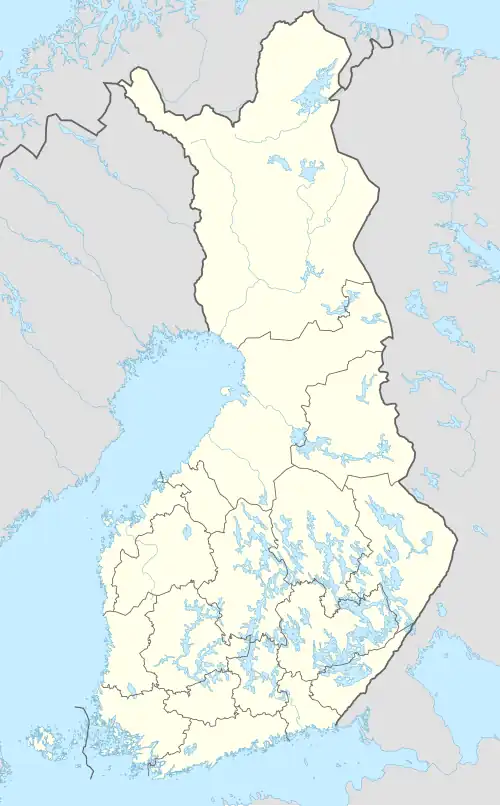
Porttipahta Reservoir (Finnish: Porttipahdan tekojärvi) is a large lake in the Kemijoki main catchment area. It is located in the region of Lapland in Finland.[1]
See also
References
- ^ a b Porttipahta Reservoir in the Jarviwiki Web Service. Retrieved 2014-03-06. (in English)
External links
- 'Building a reconciliation' Sovintoa rakentamassa. 2024-07-13. YLE.fi