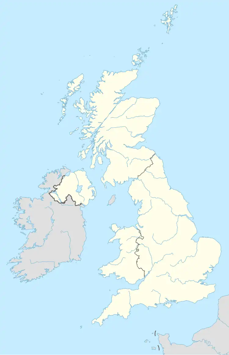
JE postcode area
49°10′52″N 2°04′52″W / 49.181°N 2.081°W
Jersey | |
|---|---|
 JE | |
| Coordinates: 49°10′52″N 2°04′52″W / 49.181°N 2.081°W | |
| Country | United Kingdom |
| Postcode area | JE |
| Postcode area name | Jersey |
| Post towns | 1 |
| Postcode districts | 5 |
| Postcode sectors | 29 |
| Postcodes (live) | 3,290 |
| Postcodes (total) | 3,576 |
| Statistics as at May 2020[1] | |
The JE postcode area, also known as the Jersey postcode area,[2] is a group of postal districts covering Jersey.
Coverage
The approximate coverage of each postcode district:[3]
| Postcode district | Sector | Parish (or non-geographic use) |
|---|---|---|
| JE1 | various | large users[4] |
| JE2 | 3 | Saint Helier |
| 4 | ||
| 6 | Saint Clement | |
| 7 | Saint Saviour | |
| JE3 | 1 | Saint Lawrence |
| 2 | Saint Ouen | |
| 3 | Saint Mary | |
| 4 | Saint John | |
| 5 | Trinity | |
| 6 | Saint Martin | |
| 7 | Saint Peter | |
| 8 | Saint Brélade | |
| 9 | Grouville | |
| JE4 | various | PO boxes[4] |
| JE5 | various | bespoke delivery[4] |
The post town for all addresses is JERSEY.[5]
See also
- Postcode Address File
- Jersey Post
- List of postcode areas in the United Kingdom
- Guernsey postcode area
References
- ^ "ONS Postcode Directory Version Notes" (ZIP). National Statistics Postcode Products. Office for National Statistics. May 2020. Table 2. Retrieved 19 June 2020.
- ^ Royal Mail, Address Management Guide, (2004)
- ^ Postcode and Address Finder Archived 5 April 2012 at the Wayback Machine, Jersey Post
- ^ a b c Non Geographic Codes Archived 1 September 2012 at the Wayback Machine (includes lists of Jersey "in use non-geographic sectors" and "current PO Box sectors"), Royal Mail, January 2012
- ^ Addressing Standards Archived 16 August 2011 at the Wayback Machine, Jersey Post