Pounding Mill, Virginia
Pounding Mill, Virginia | |
|---|---|
 Pounding Mill, Virginia  Pounding Mill, Virginia | |
| Coordinates: 37°04′31″N 81°42′31″W / 37.07528°N 81.70861°W | |
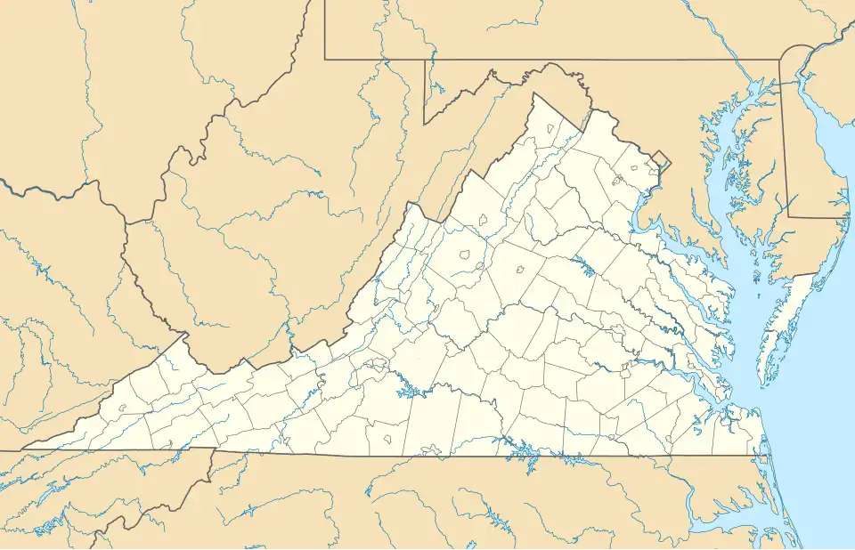
| Country | United States |
| State | Virginia |
| County | Tazewell |
| Area | |
• Total | 2.468 sq mi (6.39 km2) |
| • Land | 2.432 sq mi (6.30 km2) |
| • Water | 0.036 sq mi (0.09 km2) |
| Elevation | 2,231 ft (680 m) |
| Population (2020) | |
• Total | 367 |
| • Density | 148.7/sq mi (57.4/km2) |
| Time zone | UTC-5 (Eastern (EST)) |
| • Summer (DST) | UTC-4 (EDT) |
| Area code | 276 |
| GNIS feature ID | 2807449[1] |
Pounding Mill is an unincorporated community and census-designated place in Tazewell County, Virginia, United States.
Maiden Spring was listed on the National Register of Historic Places in 1994.[2]
Demographics
Pounding Mill first appeared as a census designated place in the 2020 United States census.[3]
References
- ^ U.S. Geological Survey Geographic Names Information System: Pounding Mill, Virginia
- ^ "National Register Information System". National Register of Historic Places. National Park Service. July 9, 2010.
- ^ "2020 Geography Changes". United States Census Bureau.
Municipalities and communities of Tazewell County, Virginia, United States | ||
|---|---|---|
| Towns |  | |
| CDPs | ||
| Other communities | ||
| Footnotes | ‡This populated place also has portions in an adjacent county or counties | |