Poverty Hills
| Poverty Hills | |
|---|---|
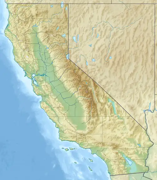 Poverty Hills location of Poverty Hills in California[1] | |
| Highest point | |
| Elevation | 1,389 m (4,557 ft) |
| Geography | |
| Country | United States |
| State | California |
| District | Inyo County |
| Range coordinates | 37°2′59.759″N 118°14′57.358″W / 37.04993306°N 118.24926611°W |
| Topo map | USGS Tinemaha Reservoir |
The Poverty Hills are a mountain range in northwestern Inyo County of eastern California, northwest of Bishop and the upper Owens Valley.[1]
They are east of and below the Sierra Nevada, in the Round Valley area, and just west of Tinemaha Reservoir and the Owens River.
References
- ^ a b "Poverty Hills". Geographic Names Information System. United States Geological Survey, United States Department of the Interior. Retrieved 2009-05-04.