Lake Pumacocha (Yauli)
| Lake Pumacocha | |
|---|---|
 Lake Pumacocha | |
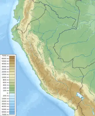
| Location | Peru Junín Region |
| Coordinates | 11°44′21″S 76°06′48″W / 11.73917°S 76.11333°W |
| Max. length | 5.44 km (3.38 mi) |
| Max. width | 0.95 km (0.59 mi) |
| Surface elevation | 4,265 m (13,993 ft) |
| Pumacocha Dam | |
|---|---|
Location of Pumacocha Dam in Peru | |
| Country | Peru |
| Dam and spillways | |
| Height | 24 m (79 ft) |
| Length | 410 m (1,350 ft) |
| Reservoir | |
| Total capacity | 28,400,000 m3 (23,000 acre⋅ft) |
| Power Station | |
| Operator(s) | Centromín Perú |
Pumacocha (possibly from Quechua puma cougar, puma, qucha lake,[1]) is a lake in Peru located in the Junín Region, Yauli Province, Yauli District.[2] It is situated at a height of approximately 4,265 m (13,993 ft), about 5.144 km long and 0.95 km at its widest point. Pumacocha lies northwest of a lake named Huallacocha (possibly from in Quechua Wallaqucha) and southwest of the town of Yauli.
The Pumacocha dam was completed in 1942. It is 410 m (1,350 ft) long and 24 m (26 yd) high. It is operated by Centromín Perú. The reservoir has a volume of 438,000 m3 (355 acre⋅ft) and a capacity of 28,400,000 m3 (23,000 acre⋅ft).[3]
See also
References
- ^ Teofilo Laime Ajacopa (2007). Diccionario Bilingüe: Iskay simipi yuyayk’anch: Quechua – Castellano / Castellano – Quechua (PDF). La Paz, Bolivia: futatraw.ourproject.org.
- ^ escale.minedu.gob.pe - UGEL map of the Yauli Province (Junín Region)
- ^ Recursos Hídricos del Perú en Cifras, Boletín Técnico de Recursos Hídricos 2010, Autoridad Nacional del Agua, Ministerio de Agricultura, Peru