Pyre Peak
| Pyre Peak | |
|---|---|
 Incandescent lava fountaining from a fissure eruption near Pyre Peak | |
| Highest point | |
| Elevation | 3,458 ft (1,054 m)[1] |
| Prominence | 3,458 ft (1,054 m)[1] |
| Isolation | 60.68 mi (97.65 km)[1] |
| Coordinates | 52°18′54″N 172°30′37″W / 52.31500°N 172.51028°W |
| Geography | |
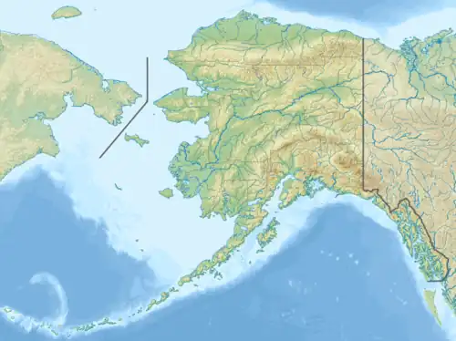 Pyre Peak Location in Alaska | |
| Location | Seguam Island, Alaska, U.S. |
| Parent range | Aleutian Range |
| Topo map | USGS Seguam D-2 |
| Geology | |
| Formed by | Subduction zone volcanism |
| Mountain type | Stratovolcano |
| Volcanic arc | Aleutian Arc |
| Last eruption | 1993 |
Pyre Peak, also called Seguam Volcano, is an active stratovolcano on Seguam Island in the Aleutian Islands of Alaska.[2]
Sources
- "Seguam". Global Volcanism Program. Smithsonian Institution.
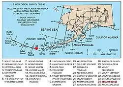
- Volcanoes of the Alaska Peninsula and Aleutian Islands-Selected Photographs
- Alaska Volcano Observatory
References
- ^ a b c "Pyre Peak, Alaska". Peakbagger.com.
- ^ "Pyre Peak". Geographic Names Information System. United States Geological Survey, United States Department of the Interior. Retrieved 2020-05-21.
External links
- Weather: Pyre Peak