Qalla Qhata
| Qalla Qhata | |
|---|---|
 Qalla Qhata Peru | |
| Highest point | |
| Elevation | 5,200 m (17,100 ft)[1] |
| Coordinates | 11°54′39″S 75°04′07″W / 11.91083°S 75.06861°W[2] |
| Geography | |
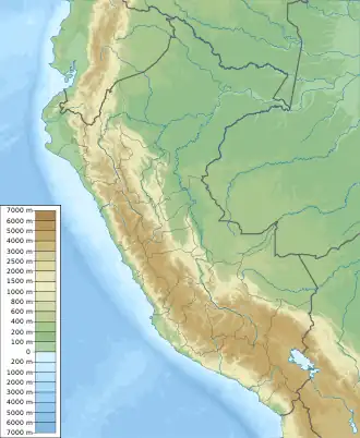
| Location | Peru, Junín Region |
| Parent range | Andes, Waytapallana |
Qalla Qhata (Quechua qalla carved stone, cobblestone; circular spindle disk; cheek, qhata slope, hillside,[3] hispanicized spelling Jallacata) is a mountain in the Waytapallana mountain range in Peru, about 5,200 m (17,100 ft) high. It is located in the Junín Region, Huancayo Province, Huancayo District, west of Waytapallana.[4]
References
- ^ Evelio Echevarría, Cordillera Huaytapallana, Peru, in: The Alpine Journal
- ^ "Cerro Jallacata". IGN, Peru. Archived from the original on July 7, 2015. Retrieved July 7, 2015. (possibly incorrect coordinates)
- ^ Teofilo Laime Ajacopa (2007). Diccionario Bilingüe: Iskay simipi yuyayk’anch: Quechua – Castellano / Castellano – Quechua (PDF). La Paz, Bolivia: futatraw.ourproject.org.
- ^ escale.minedu.gob.pe - UGEL map of the Huancayo Province (Junín Region)