Qońirat
Qońirat
Karakalpak: Қоңырат, Qońırat | |
|---|---|
| Qońirat | |
    | |
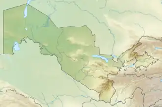 Qońirat Location in Uzbekistan 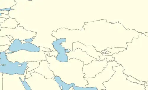 Qońirat Qońirat (Central Asia) | |
| Coordinates: 43°02′59″N 58°51′15″E / 43.04972°N 58.85417°E | |
| Country | |
| Suveren Republic | Karakalpakstan |
| District | Qońirat district |
| Elevation | 60 m (200 ft) |
| Population (2016)[1] | |
• Total | 37,100 |
| Time zone | UTC+5 (UZT) |
| Website | kungrad.com |
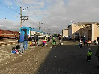
Qońirat, also spelled as Kungrad[2] (Karakalpak: Қоңырат, Qońırat), formerly known as Zheleznodorozhny (Russian: Железнодорожный, until 1969), is a city in Karakalpakstan, Uzbekistan, located in the Amu Darya delta[2] on the left bank of the river. It is the seat of Qońirat district.[3] Its population was 37,100 in 2016.[1]
In the past it was the centre of caravan routes leading to the Caspian Sea and the Uralsk province.[2]
References
- ^ a b Soliyev, A.S. Shaharlar geografiyasi [Geography of cities] (PDF) (in Uzbek). p. 143.
- ^ a b c Chisholm, Hugh, ed. (1911). . Encyclopædia Britannica. Vol. 15 (11th ed.). Cambridge University Press. p. 947.
- ^ "Classification system of territorial units of the Republic of Uzbekistan" (in Uzbek and Russian). The State Committee of the Republic of Uzbekistan on statistics. July 2020.
External links
Capital: Nukus | ||
| Districts | 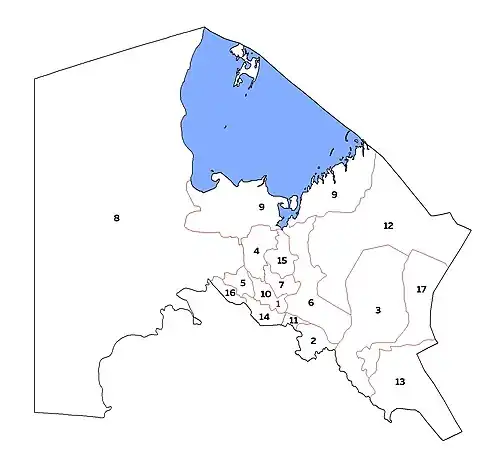 | |
| Cities | ||
| Towns |
| |