Quebec Route 291
 Route 291 | ||||
|---|---|---|---|---|
 | ||||
| Route information | ||||
| Length | 55 km[1] (34 mi) | |||
| Major junctions | ||||
| North end | rue Lafontaine in Rivière-du-Loup | |||
| None | ||||
| South end | ||||
| Location | ||||
| Country | Canada | |||
| Province | Quebec | |||
| Major cities | Rivière-du-Loup | |||
| Highway system | ||||
| ||||
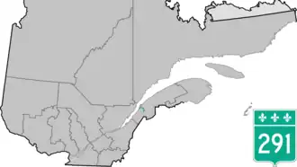
Route 291 is 55 km two-lane north/south highway in Quebec, Canada, which starts in Rivière-du-Loup at the junction of rue Lafontaine and rue Beaubien in Downtown Rivière-du-Loup, and ends in Saint-Honoré-de-Témiscouata at the junction of Autoroute 85.
Towns along Route 291
- Rivière-du-Loup
- Saint-Arsène
- Saint-Épiphane
- Saint-François-Xavier-de-Viger
- Saint-Honoré-de-Témiscouata
-
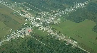 Route 291 crosses Saint-Honoré-de-Témiscouata.
 -
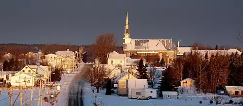
 Principale street in Saint-Hubert-de-Rivière-du-Loup village.
 -
 Église street in Saint-Arsène.
See also
References
- ^ Ministère des transports, "Distances routières", page (?), Les Publications du Québec, 2005
External links
- Provincial Route Map (Courtesy of the Quebec Ministry of Transportation) Archived 2008-05-17 at the Wayback Machine (in French)
- Route 291 on Google Maps