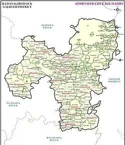
R. Udayagiri
R. Udayagiri | |
|---|---|
Village | |
| Ramagiri Udayagiri | |
 | |
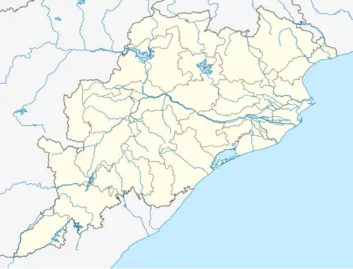 R. Udayagiri Location in Odisha, India  R. Udayagiri R. Udayagiri (India) | |
| Coordinates: 19°09′43″N 84°08′39″E / 19.161850°N 84.144040°E | |
| Country | India |
| State | Odisha |
| District | Gajapati |
| Founded by | Government of Odisha |
| Named after | Local Udayagiri Hill |
| Government | |
| • Type | Local Government |
| • Body | Panchayat Samiti |
| Area | |
• Total | 765.34 km2 (295.50 sq mi) |
| Population (2020) | |
• Total | 90,774 |
| • Density | 120/km2 (310/sq mi) |
| Languages | |
| • Official | Odia, Sora |
| Time zone | UTC+5:30 (IST) |
R. Udaygiri is a village as well as tehsil and a community development block in the Gajapati District of Odisha, India. It is located 60 km from Paralakhemundi.
Demographics
According to Census 2011 information, the sub-district code of R. Udaygiri block is 03102. There are about 292 villages in the R. Udaygiri block.[1]
Education
List of educational institutes in R.Udayagiri:
- Nodal U.P School
- Gopabandhu U.P School
- Govt. High School, R. Udayagiri
- Mahendrataneya Jr. college
- Arabindo School
- Saraswati Sishu Mandir
References
- ^ "Demographics of R.Udayagiri". Villageinfo. Villageinfo. Retrieved 6 February 2016.