R313 road (Ireland)
 | |
|---|---|
| Bóthar R313 | |
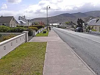 Approaching Bangor Erris on the R313 | |
| Route information | |
| Length | 40 km (25 mi) |
| Location | |
| Country | Ireland |
| Primary destinations |
|
| Highway system | |
The R313 road is a regional road in County Mayo in Ireland. It connects the town of Bangor Erris to Blacksod at the tip of the Mullet Peninsula, 40 kilometres (25 mi) away (map).[1]
The government legislation that defines the R313, the Roads Act 1993 (Classification of Regional Roads) Order 2012 (Statutory Instrument 54 of 2012), provides the following official description:
- Bangor — An Fod Dubh, County Mayo
- Between its junction with N59 at Bangor and its terminal point at Caladh an Fód Dubh via Munhin Bridge, Gleann Chaissil, Áit Tí Conain; Sraid na Bearice, An Chearnóg, Sráid Mheiriceá, and An Droichead Nua at Béal an Mhuirthead; An Geata Mór, Oilligh and An Eachléim all in the county of Mayo.[1]
See also
- List of roads of County Mayo
- National primary road
- National secondary road
- Regional road
- Roads in Ireland
References
- ^ a b S.I. No. 54/2012 — Roads Act 1993 (Classification of Regional Roads) Order 2012, Irish Statute Book (irishstatutebook.ie), 2013-02-27.