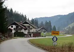
Račeva
Račeva | |
|---|---|
 | |
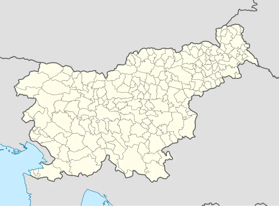 Račeva Location in Slovenia | |
| Coordinates: 46°2′0.26″N 14°8′29.14″E / 46.0334056°N 14.1414278°E | |
| Country | |
| Traditional region | Upper Carniola |
| Statistical region | Upper Carniola |
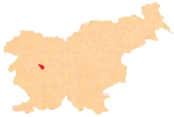
| Municipality | Žiri |
| Area | |
• Total | 3.22 km2 (1.24 sq mi) |
| Elevation | 528.8 m (1,734.9 ft) |
| Population (2002) | |
• Total | 159 |
| [1] | |
Račeva (pronounced [ˈɾaːtʃɛʋa]) is a dispersed settlement in a valley of the same name southeast of Žiri in the Upper Carniola region of Slovenia. Račeva Creek runs along the valley and is a tributary of the Poljane Sora River (Slovene: Poljanska Sora).[2]
History
During the Second World War, the border between territory annexed to Nazi Germany and Fascist Italy ran along Račeva Creek. In 1941, the Germans demolished the water-powered Debenc Mill during demarcation of the border.[3]
References
- ^ Statistical Office of the Republic of Slovenia
- ^ Žiri municipal site
- ^ Savnik, Roman (1968). Krajevni leksikon Slovenije, vol. 1. Ljubljana: Državna založba Slovenije. p. 184.
External links
 Media related to Račeva at Wikimedia Commons
- Račeva on Geopedia
| Settlements | Administrative seat: Žiri
|  | ||||
|---|---|---|---|---|---|---|
| Landmarks |
| |||||
| Notable people | ||||||