Ras al-Ayn District
Ras al-Ayn District
منطقة رأس العين | |
|---|---|
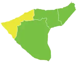 Location of Ras al-Ayn District within al-Hasakah Governorate | |
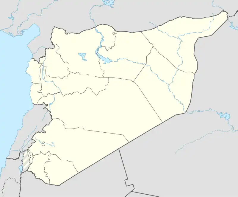 Ras al-Ayn District Location in Syria | |
| Coordinates (Ras al-Ayn): 36°51′N 40°04′E / 36.85°N 40.07°E | |
| Country | Syria |
| Governorate | al-Hasakah |
| Control | |
| Seat | Ras al-Ayn |
| Subdistricts | 2 nawāḥī |
| Area | |
• Total | 3,826.19 km2 (1,477.30 sq mi) |
| Population (2004)[1] | 177,150 |
| Geocode | SY0804 |
Ras al-Ayn District (Arabic: منطقة رأس العين, romanized: manṭiqat Raʾs al-ʿAyn) is a district of al-Hasakah Governorate in northeastern Syria. The administrative centre is the city of Ras al-Ayn.
At the 2004 census, the district had a population of 177,150.[1] It is populated by Arabs, Kurds, Chechens and Assyrians.
Subdistricts
The district of Ras al-Ayn is divided into two subdistricts or nawāḥī (population as of 2004[1]):
| PCode | Name | Area | Population | Villages | Seat |
|---|---|---|---|---|---|
| SY080400 | Ras al-Ayn Subdistrict | 2,832.02 km2 | 121,536 | 67 | Ras al-Ayn |
| SY080401 | al-Darbasiyah Subdistrict | 994.17 km2 | 55,614 | 113 | al-Darbasiyah |
References
- ^ a b c "General Census of Population and Housing 2004" (PDF) (in Arabic). Syrian Central Bureau of Statistics. Retrieved 15 October 2015. Also available in English: "2004 Census Data". UN OCHA. Retrieved 15 October 2015.