Raamghat
Raamghat | |
|---|---|
City | |
 Raamghat Location in Nepal 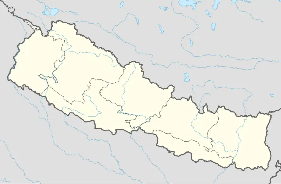 Raamghat Raamghat (Nepal) | |
| Coordinates: 27°52′28″N 83°54′54″E / 27.874348°N 83.914869°E | |
| Country | |
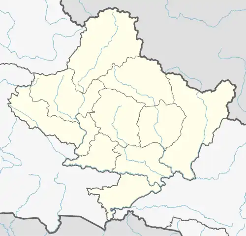
| Province | Gandaki Province |
| District | Syangja District |
| Municipality | Chapakot |
| Area | |
• Total | 1.2 km2 (0.5 sq mi) |
| Population | |
• Total | 192 |
| • Density | 160/km2 (410/sq mi) |
| • Ethnicities | Brahmin |
| Time zone | UTC+5:45 (Nepal Time) |
| Area code | +977-63 |
| HQ | Sultalitar, Chapakot |
Raamghat is a city in Chapakot Municipality, located in the Syangja District of Gandaki Province, Nepal.[1][2] According to the 2011 Nepal census, it had a population of 192.[3]
References
- ^ "744 new local units come into effect". The Kathmandu Post. Retrieved 15 March 2017.
- ^ "Which local unit do you belong to?". MyRepublica. Retrieved 11 March 2017.
- ^ "Syangja VDC Level Report" (PDF). Central Bureau of Statistics. Archived from the original (PDF) on 26 October 2014.