Rahara, Kolkata
Rahara | |
|---|---|
Neighbourhood | |
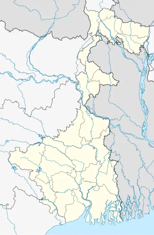 Rahara Location in West Bengal, India 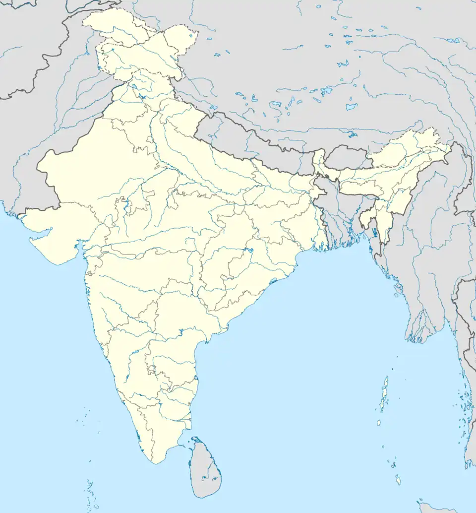 Rahara Rahara (India) | |
| Coordinates: 22°43′25″N 88°22′54″E / 22.723703°N 88.381622°E | |
| Country | |
| State | West Bengal |
| Division | Presidency |
| District | North 24 Parganas |
| Government | |
| • Type | Municipality |
| • Body | Khardaha Municipality |
| Elevation | 12 m (39 ft) |
| Languages | |
| • Official | Bengali, English |
| Time zone | UTC+5:30 (IST) |
| PIN | 700118 |
| Telephone code | +91 33 |
| ISO 3166 code | IN-WB |
| Vehicle registration | WB |
| Lok Sabha constituency | Dum Dum |
| Vidhan Sabha constituency | Khardaha |
Rahara is a neighbourhood in Khardaha of North 24 Parganas district in the Indian state of West Bengal. It is a part of the area covered by Kolkata Metropolitan Development Authority (KMDA).[1][2]
Geography
Rahara is located at 22°43′25″N 88°22′53″E / 22.72361°N 88.38139°E.[2] It has an average elevation of 12 m (39 ft).
Education
- Rahara Bhabanath Institution for Girls
- Rahara Ramakrishna Mission Boys' Home High School, Junior High School and Junior Basic School
- Ramakrishna Mission Vivekananda Centenary College
- Kalyannagar Vidyapith
- Kalyannagar Vidyapith For Girls
Transport
Sodepur Road (Old Calcutta Road) passes through Rahara. It is also connected to B.T. Road.[3]
Private Bus
- 78/1 Rahara Bazar - Babughat
Train
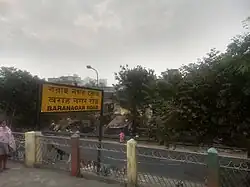
Khardaha railway station on Sealdah-Ranaghat line is the nearest railway station.
References
- ^ "Base Map of Kolkata Metropolitan area". Kolkata Metropolitan Development Authority. Archived from the original on 28 September 2007. Retrieved 3 September 2007.
- ^ a b "Rahara, Kolkata, West Bengal, India". latlong.net. Retrieved 13 June 2016.
- ^ Google maps

North 24 Parganas district topics | |||||||||
|---|---|---|---|---|---|---|---|---|---|
| General |
| ||||||||
| Subdivisions | |||||||||
| Municipalities | |||||||||
| Community development blocks |
| ||||||||
| Rivers | |||||||||
| Transport |
| ||||||||
| Railway stations | |||||||||
| Institutes of higher learning | .jpg) | ||||||||
| Lok Sabha constituencies | |||||||||
| Vidhan Sabha constituencies |
| ||||||||
| Former Vidhan Sabha constituencies | |||||||||
| See also |
| ||||||||
| Kolkata Municipal Corporation |
|
|---|---|
| Kolkata Urban Agglomeration Outside KMC |
|
| |