Rampura, Neemuch
Rampura | |
|---|---|
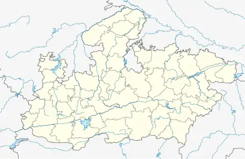 Rampura Location in Madhya Pradesh, India | |
| Coordinates: 24°28′N 75°26′E / 24.47°N 75.43°E[1] | |
| Country | |
| State | Madhya Pradesh |
| District | Neemuch |
| Elevation | 508 m (1,667 ft) |
| Population (2001) | |
• Total | 17,761 |
| Languages | |
| • Official | Hindi |
| Time zone | UTC+5:30 (IST) |
| Vehicle registration | MP 44 |
Rampura is a town and Nagar Parishad, near Neemuch town in the Neemuch district of the Indian state of Madhya Pradesh. Rampura was founded by Rama bhil.[2] Mahagarh was also ruled by Bhil king [3],Rama was King but after the defeat against Chandrawats of Mewar, the town of Rampura was under their control until the independence of India.
Geography
Rampura is located at 24.47°N 75.43°E.[4] It has an average elevation of 508 metres (1667 feet). It comes under the Malwa Region on the Malwa Plateau.
Demographics
As of the 2001 India census, Rampura had a population of 17,761. Males constitute 52% of the population and females 48%; 14% of the population is under 6 years of age. Rampura has an average literacy rate of 64%, higher than the national average of 59.5%: male literacy is 75%, and female literacy is 53%[5]
Tourist Places
- Gandhisagar Dam
- Kedareshwar Mahadev Temple
Religious Places
• Syedi Bawa Mulla Khan Saheb Mazar
Transportation
Rampura is 60 km away from district headquarters Neemuch.
Nearest airport is Maharana Pratap Airport Udaipur.
References
- ^ Falling Rain Genomics, Inc - Rampura
- ^ Nemīcanda Jaina (1971). Bhīlī kā bhāshā-śastrīya adhyayana. Vol. 1.
- ^ Pradesh (India), Madhya (1993). Madhya Pradesh, District Gazetteers: Dhar. Government Central Press.
- ^ "Maps, Weather, and Airports for Rampura, India".
- ^ "Census of India 2001: Data from the 2001 Census, including cities, villages and towns (Provisional)". Census Commission of India. Archived from the original on 16 June 2004. Retrieved 1 November 2008.