Rancabungur
Rancabungur | |
|---|---|
 Rancabungur 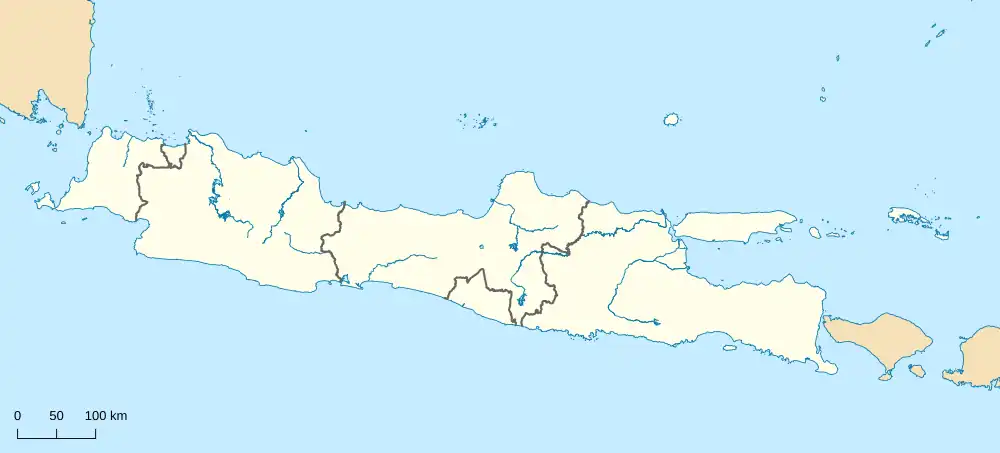 Rancabungur Rancabungur (Java) 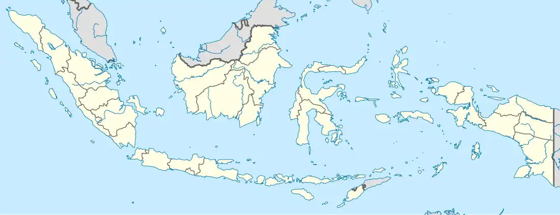 Rancabungur Rancabungur (Indonesia) | |
| Coordinates: 6°31′30″S 106°42′50″E / 6.52500°S 106.71389°E | |
| Country | |
| Province | West Java |
| Regency | Bogor Regency |
| Area | |
• Total | 24.36 km2 (9.41 sq mi) |
| Elevation | 153 m (502 ft) |
| Population (mid 2023 estimate)[1] | |
• Total | 62,714 |
| • Density | 2,600/km2 (6,700/sq mi) |
| Time zone | UTC+7 (IWST) |
| Area code | (+62) 251 |
| Vehicle registration | F |
| Villages | 7 |
| Website | kecamatanrancabungur |
Rancabungur is a town and an administrative district (Indonesian: kecamatan) in the Bogor Regency, West Java, Indonesia and thus part of Jakarta's larger conurbation.
Rancabungur District covers an area of 24.36 km2, and had a population of 50,052 at the 2010 Census[2] and 60,711 at the 2020 Census;[3] the official estimate as at mid 2023 was 62,714 - comprising 32,066 males and 30,648 females.[1] The administrative centre is at the town of Rancabungur, and the district is sub-divided into seven villages (desa), all sharing the postcode of 16311, as listed below with their areas and populations as at mid 2023.[1]
| Kode Wilayah |
Name of desa |
Area in km2 |
Population mid 2023 estimate |
|---|---|---|---|
| 32.01.34.2001 | Bantarjaya | 2.14 | 12,015 |
| 32.01.34.2002 | Bantarsari | 3.41 | 7,728 |
| 32.01.34.2003 | Pasir Gaok | 3.41 | 9,970 |
| 32.01.34.2004 | Rancabungur (town) | 2.70 | 12,127 |
| 32.01.34.2005 | Mekarsari | 2.04 | 7,765 |
| 32.01.34.2006 | Candali | 6.32 | 6,096 |
| 32.01.34.2007 | Cimulang | 4.34 | 7,013 |
| 32.01.34 | Totals | 24.36 | 62,714 |
References