Raning
Raning | |
|---|---|
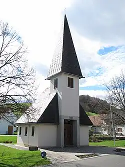 Chapel in Raning | |
 Coat of arms | |
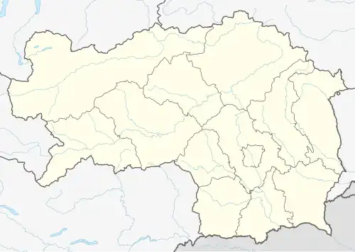 Raning Location within Styria#Location within Austria  Raning Raning (Austria) | |
| Coordinates: 46°52′00″N 15°49′00″E / 46.86667°N 15.81667°E | |
| Country | Austria |
| State | Styria |
| District | Südoststeiermark |
| Area | |
• Total | 8.2 km2 (3.2 sq mi) |
| Elevation | 273 m (896 ft) |
| Population (1 January 2016)[1] | |
• Total | 810 |
| • Density | 99/km2 (260/sq mi) |
| Time zone | UTC+1 (CET) |
| • Summer (DST) | UTC+2 (CEST) |
| Postal code | 8342 |
| Area code | 03151 |
| Vehicle registration | FB |
| Website | www.raning.at |
Raning is a former municipality in the district of Südoststeiermark in the Austrian state of Styria. Since the 2015 Styria municipal structural reform, it is part of the municipality Gnas.[2]
Population
| Year | Pop. | ±% |
|---|---|---|
| 1869 | 919 | — |
| 1880 | 943 | +2.6% |
| 1890 | 919 | −2.5% |
| 1900 | 852 | −7.3% |
| 1910 | 851 | −0.1% |
| 1923 | 807 | −5.2% |
| 1934 | 795 | −1.5% |
| 1939 | 805 | +1.3% |
| 1951 | 750 | −6.8% |
| 1961 | 739 | −1.5% |
| 1971 | 783 | +6.0% |
| 1981 | 830 | +6.0% |
| 1991 | 842 | +1.4% |
| 2001 | 813 | −3.4% |
| 2013 | 805 | −1.0% |
References