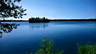
Ranuanjärvi
| Ranuanjärvi | |
|---|---|
 Ranuanjärvi | |
 Ranuanjärvi | |
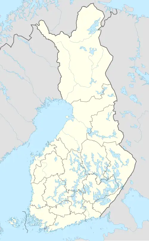
| Location | Ranua, Finland |
| Coordinates | 65°55.75′N 26°34.125′E / 65.92917°N 26.568750°E |
| Type | Lake |
| Primary outflows | Ranuanjoki |
| Catchment area | Iijoki |
| Basin countries | Finland |
| Surface area | 4.624 km2 (1.785 sq mi) |
| Average depth | 2.24 m (7 ft 4 in) |
| Max. depth | 8.4 m (28 ft) |
| Water volume | 0.10356 km3 (83,960 acre⋅ft) |
| Shore length1 | 23.28 km (14.47 mi) |
| Surface elevation | 142.8 m (469 ft) |
| Islands | Peltosaari, Lehtosaari |
| Settlements | Ranua |
| References | [1] |
| 1 Shore length is not a well-defined measure. | |
Ranuanjärvi is a small and shallow lake of Finland located in the center of municipality of Ranua, in the region of Lapland. It belongs to Iijoki main catchment area.[1]
See also
References