Raschau-Markersbach
Raschau-Markersbach | |
|---|---|
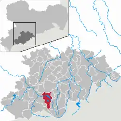
Location of Raschau-Markersbach within Erzgebirgskreis district  | |
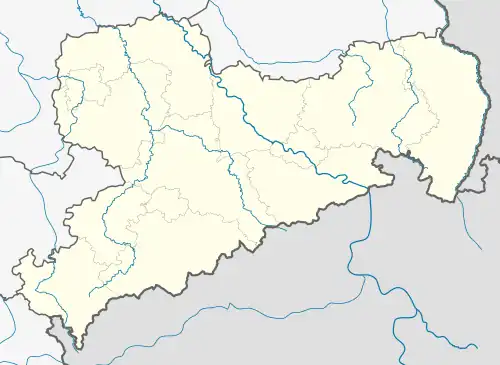
 Raschau-Markersbach  Raschau-Markersbach | |
| Coordinates: 50°31′56″N 12°52′17″E / 50.53222°N 12.87139°E | |
| Country | Germany |
| State | Saxony |
| District | Erzgebirgskreis |
| Government | |
| • Mayor (2022–29) | Frank Tröger[1] |
| Area | |
• Total | 39.52 km2 (15.26 sq mi) |
| Highest elevation | 830 m (2,720 ft) |
| Lowest elevation | 420 m (1,380 ft) |
| Population (2023-12-31)[2] | |
• Total | 4,802 |
| • Density | 120/km2 (310/sq mi) |
| Time zone | UTC+01:00 (CET) |
| • Summer (DST) | UTC+02:00 (CEST) |
| Postal codes | 08352 |
| Dialling codes | 03774 |
| Vehicle registration | ERZ, ANA, ASZ, AU, MAB, MEK, STL, SZB, ZP |
| Website | www.markersbach.de |
Raschau-Markersbach is a municipality in the district of Erzgebirgskreis in Saxony, Germany. It was formed on 1 January 2008, by the merger of the former municipalities Markersbach and Raschau.[3]
Gallery
-
.jpg) Ruins of the lime plant
Ruins of the lime plant -

-

-
 Looking through the bridge under construction of the bypass stream marker (B101) on the marker Bacher Viaduct
 -
Pumped storage plant markers (Bach Dam)
-
 Elementary school
 -

-

-

References
- ^ Gewählte Bürgermeisterinnen und Bürgermeister im Freistaat Sachsen, Stand: 17. Juli 2022, Statistisches Landesamt des Freistaates Sachsen.
- ^ "Bevölkerung der Gemeinden Sachsens am 31. Dezember 2023 - Fortschreibung des Bevölkerungsstandes auf Basis des Zensus vom 15. Mai 2022 (Gebietsstand 01.01.2023)" (in German). Statistisches Landesamt des Freistaates Sachsen.
- ^ Gebietsänderungen vom 01.01. bis 31.12.2008, Statistisches Bundesamt
Wikimedia Commons has media related to Raschau-Markersbach.