Rhonelle
| Rhonelle | |
|---|---|
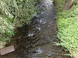 The Rhonelle at Famars | |
 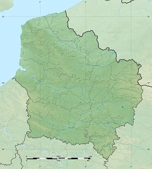 | |
| Location | |
| Country | France |
| Physical characteristics | |
| Source | |
| • location | France |
| Mouth | |
• location | Scheldt |
• coordinates | 50°21′39″N 3°30′53″E / 50.36083°N 3.51472°E |
| Length | 32 km (20 mi) |
| Basin features | |
| Progression | Scheldt→ North Sea |
The Rhonelle is a river of northern France. It is 32 km (20 mi) long.[1] It is a right tributary of the Scheldt. Its source is near Locquignol. It flows generally northwest along Le Quesnoy, Villers-Pol and Famars. It flows into the Scheldt in Valenciennes.
References