Rikacha Tuna
| Rikacha Tuna | |
|---|---|
 Rikacha Tuna Peru | |
| Highest point | |
| Elevation | 4,400 m (14,400 ft)[1] |
| Coordinates | 10°23′37″S 76°00′53″W / 10.39361°S 76.01472°W |
| Geography | |
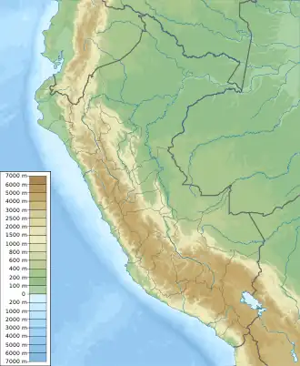
| Location | Peru, Huánuco Region |
| Parent range | Andes |
Rikacha Tuna (Quechua rikacha Arracacia xanthorrhiza, tuna slope,[2][3] "rikacha slope", Hispanicized spelling Ricachatuna) is a 4,400-metre-high (14,400 ft) mountain in the Andes of Peru. It is located in the Pachitea Province, Panao District. Rikacha Tuna lies northeast of K'uchu Hanka.[4]
References
- ^ Peru 1:100,000, Ambo 1650, Map prepared and published by the Defense Mapping Agency, Hydrographic/Topographic Center, Bethesda, MD
- ^ J. Esteban Hernández Bermejo, J. León, Neglected Crops: 1492 from a Different Perspective
- ^ Rimaycuna, Quechua de Huánuco, Diccionario del quechua dell Huallaga con índices castellano e inglés, Serie Lingüistica Peruana No. 48
- ^ escale.minedu.gob.pe - UGEL map of the Pachitea Province (Huánuco Region)